
Rapid intensification of cyclones and how IMD grades them
Why in news: Cyclone Arnab strengthened sharply over the Bay of Bengal and crossed the Andhra Pradesh coast near Yanam early on 28 October 2026.
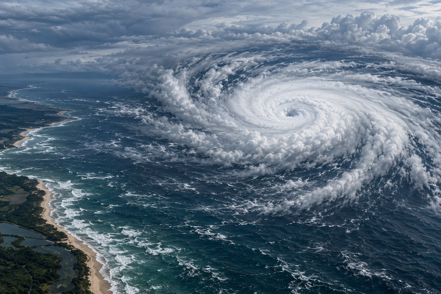
Rapid intensification is a rise of at least 30 knots (15.4 m/s) in a tropical cyclone's maximum sustained wind within 24 hours, as defined by the India Meteorological Department (IMD). Deep warm water, moist air and weak vertical wind shear drive it. Cyclone Arnab jumped from severe to very severe cyclonic storm within six hours on 26 October 2026.
Syllabus: Prelims · Geography; GS1 · Geophysical Phenomena; GS3 · Disaster Management
Why this matters for UPSC
GS1 geography (cyclones) and GS3 disaster management. Prelims can ask IMD's wind bands for each cyclone category and the 30-knot test for rapid intensification; Mains, why sudden strengthening shortens warning time for coastal evacuation.
In short
Rapid intensification is a cyclone's sudden strengthening: IMD counts a 30-knot rise in maximum sustained wind within 24 hours, about the 93rd percentile for North Indian Ocean storms.
Rapid intensification turns forecast skill into lives saved; India must pair sharper intensity forecasts with evacuation plans scaled to the strongest plausible storm.
Why it matters
A fishing family on the Andhra Pradesh coast decides when to leave for a shelter from the storm category in IMD's bulletin. When a cyclone strengthens sharply within a day, a storm expected to be moderate can arrive far stronger, and the hours left to move people, boats and cattle shrink. Its winds then uproot trees and power poles, and seawater floods low ground. IMD's own record shows that forecasting a storm's strength has improved far less than forecasting its path, so district officials have to plan for the higher category. Warmer seas make such jumps likelier, which turns a forecasting puzzle into a question of how ready coastal India is.
Prelims pointers
- The Coriolis force turns cyclone winds counter-clockwise in the Northern Hemisphere and clockwise in the Southern Hemisphere.
- IMD puts the minimum distance from the equator for cyclone formation at about 500 km, since the Coriolis force near the equator is too weak.
- Tropical cyclones are called hurricanes over the Atlantic and typhoons over the Pacific; Henry Piddington, working in Kolkata, coined the word cyclone.
- Tropical cyclones form in the lower latitudes of every ocean except the South Atlantic and the southeast Pacific, per IMD.
- A direct hit differs from landfall: the eye-wall's strongest winds come ashore while the storm's centre stays at sea.
- Per IMD, Andhra Pradesh sees the most severe cyclonic storms and Odisha the most cyclones; on the west coast, Gujarat is the most vulnerable.
- IMD's four-stage warning, in use since 1999, runs pre-cyclone watch (72 hours ahead), cyclone alert (48), cyclone warning (24) and post-landfall outlook (12).
Practise a UPSC-style question
With reference to the India Meteorological Department's classification of cyclonic disturbances, consider the following statements:
1. A system with maximum sustained winds of 28-33 knots is classed as a cyclonic storm.
2. A system with maximum sustained winds of 120 knots or more is classed as a super cyclonic storm.
3. Over land, IMD grades a low-pressure system by its closed isobars, and over the sea by its wind speed.
Which of the statements given above is/are correct?
- (a) 1 and 2 only
- (b) 2 and 3 only
- (c) 1 and 3 only
- (d) 1, 2 and 3
Show the answer
Answer: (b) 2 and 3 only
Answer: (b) 2 and 3 only. A cyclonic storm starts at 34 knots; 28-33 knots is a lower grade.
Statement 1: incorrect. IMD calls a system with 28-33 knots of 3-minute sustained wind a deep depression; a cyclonic storm needs 34 knots or more.
Statement 2: correct. IMD's table puts the super cyclonic storm at 120 knots (222 kmph) or above.
Statement 3: correct. IMD uses pressure criteria, the number of closed isobars at 2 hPa intervals, over land and wind criteria over the sea.
Eliminate: Statement 1 is the surest call, since 34 knots is the cyclonic storm threshold. Out: (a), (c), (d).
Trap: Near-miss figure. The 28-33 knot band sits just below the 34-knot cyclonic storm mark, so it looks like the bottom of that band.
Remember: Depression 17-27, deep depression 28-33, cyclonic storm from 34 knots.
More Explainers
- Crypto in Indian law: virtual digital assets, tax and PMLA cover Economy
- The collegium system for appointing and transferring higher court judges Polity
- Protected Area, Restricted Area and Inner Line Permits Polity
- Scheduled Tribe seats in Assemblies: Article 332 and Goa's 2025 Act Polity
- Ballot papers and EVMs: where India still votes on paper Polity
- Gelephu Mindfulness City: Bhutan's special zone on the Assam border World & IR
- Nuclear fusion, the tokamak and India's role in ITER Sci-Tech
- Gilgit-Baltistan, CPEC and India's sovereignty objection World & IR
- India-Nepal electricity trade: how Nepal sells power to India World & IR
- Infant mortality and child malnutrition among Scheduled Tribes National
- Genocide Convention, 1948: the legal test and who can judge it World & IR
- Chola bronzes: lost-wax casting and Nataraja iconography National