
TRISHNA: the ISRO-CNES thermal infrared satellite for water stress
Why in news: On 11 October 2026, a U.R. Rao Satellite Centre director said TRISHNA had reached the realisation stage and could launch within 12-16 months.
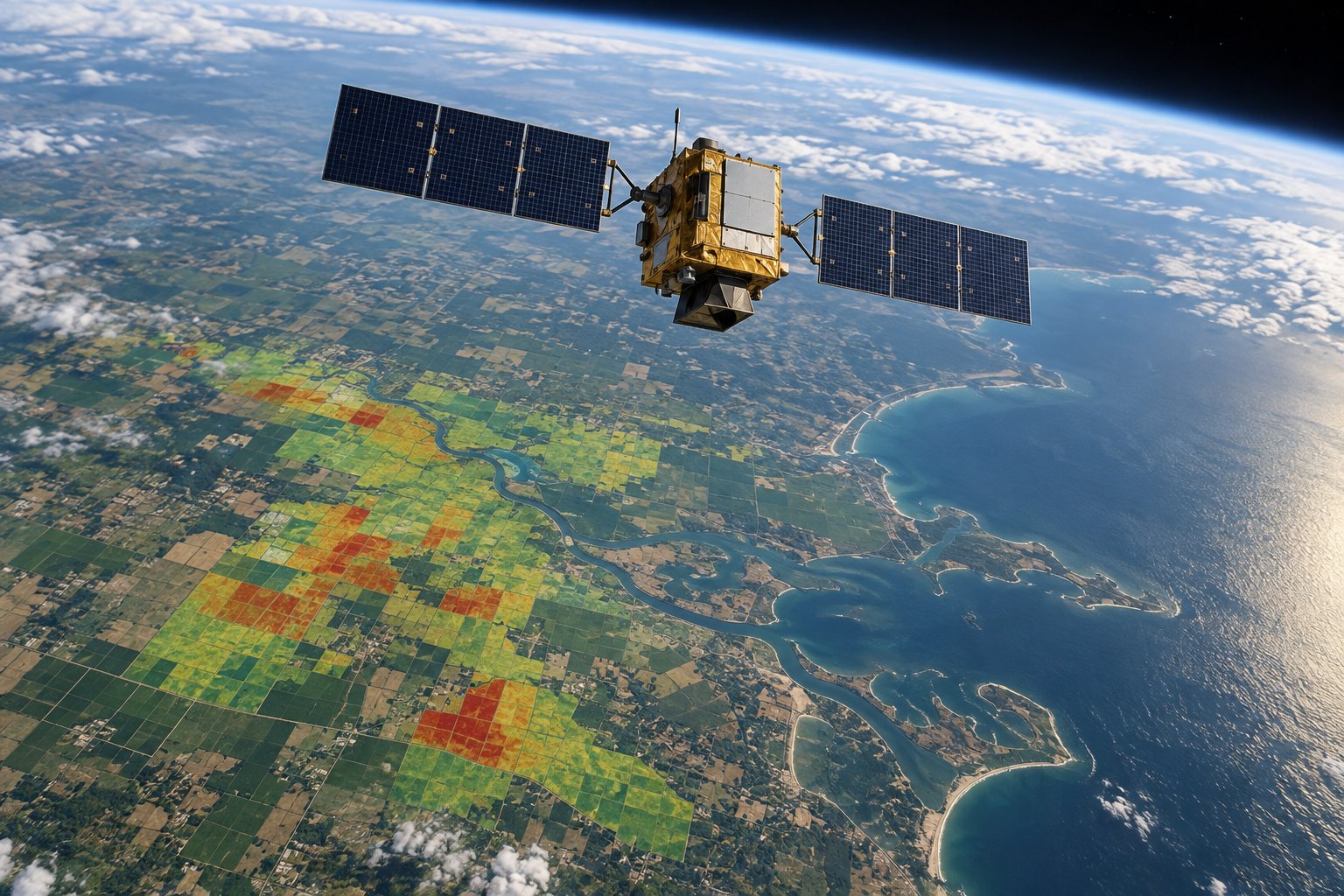
TRISHNA is a joint ISRO-CNES satellite that will map the temperature of land and coastal waters at 57 metres, to estimate evapotranspiration and crop water stress. France's CNES supplies its thermal infrared payload and ISRO its visible-shortwave infrared payload. On 11 October 2026, a URSC director said it was due for launch within 12-16 months.
Syllabus: GS3 · Agriculture & Irrigation; Prelims · Science & Technology; GS3 · IT, Space, Biotech & IPR
In short
TRISHNA (Thermal Infra-Red Imaging Satellite for High-resolution Natural Resource Assessment), a joint ISRO-CNES mission, reads surface heat to show where crops and soils lose water.
TRISHNA will be judged by water saved, not images taken: its maps must reach irrigation advisories, canal schedules and city heat plans.
Why it matters
A farmer who irrigates by the calendar often waters a field that does not need it, and reaches a parched one too late. A crop that is short of water transpires less and its leaves warm up, so a temperature map shows where water is needed. TRISHNA's field-scale maps can feed irrigation advisories and canal schedules. Today, CNES notes, such detail from space comes only about once a month, while frequent images are 1 km coarse. The same data will map urban heat islands for heat alerts and track drought, snowmelt and pollution in lakes and coastal waters. With an open data policy promised, the benefit reaches well beyond India and France.
Prelims pointers
- Thermal infrared remote sensing records heat emitted by a surface, giving its temperature; it works at night but cannot see through cloud.
- Evapotranspiration: water lost by evaporation from soil and water bodies plus transpiration from plants; a warm canopy signals water stress.
- Sun-synchronous orbit: a near-polar orbit that passes over each place at about the same local solar time on every visit.
- Geostationary satellites view an area often, but give surface temperature only at about 1 km resolution, per CNES.
- Megha-Tropiques (ISRO-CNES): studied the water cycle and energy exchanges in the tropical atmosphere.
- SARAL (ISRO-CNES): Satellite with ARGOS and ALTIKA; AltiKa measured sea-surface height by radar altimetry, ARGOS relayed data from field platforms.
- Do not confuse: NISAR is the NASA-ISRO radar mission; TRISHNA is the ISRO-CNES thermal infrared mission.
- TRISHNA's secondary uses (ISRO): urban heat islands, volcanic and geothermal heat anomalies, snowmelt runoff and glacier dynamics.
Practise a UPSC-style question
With reference to the TRISHNA satellite mission, consider the following statements:
1. The thermal infrared payload of TRISHNA is being developed by ISRO.
2. The satellite is designed to operate in a sun-synchronous orbit.
3. The satellite bus is being built by ISRO's U.R. Rao Satellite Centre.
Which of the statements given above is/are correct?
- (a) 1 and 2 only
- (b) 2 and 3 only
- (c) 1 and 3 only
- (d) 1, 2 and 3
Show the answer
Answer: (b) 2 and 3 only
1 is incorrect: the Thermal Infra-Red payload is provided by France's CNES; ISRO develops the VNIR-SWIR payload. 2 is correct: ISRO places it in a sun-synchronous orbit at 761 km, crossing the equator at 12:30 local time. 3 is correct: URSC is responsible for building the satellite bus.
More Explainers
- State Legislative Councils: Articles 168-172 and the graduates' and teachers' seats Polity
- Whales and dolphins in Indian waters: legal protection, IUCN status and strandings Environment
- The Aligarh Movement, AMU and the Article 30 minority test Polity
- Environmental clearance by States: SEIAA, SEAC and the EIA Notification, 2006 Environment
- Software vulnerabilities: CVE, CVSS, coordinated disclosure and CERT-In's role Sci-Tech
- Drug trafficking law in India: NDPS Act, PIT-NDPS, NCB and NCORD National
- Choosing the UN Secretary-General: Article 97, UNSC veto and straw polls World & IR
- UN Convention against Torture, and why India has not ratified it Polity
- NavIC: why India's navigation constellation cannot give a standalone position Sci-Tech
- International Energy Agency: membership, 90-day oil stocks and India's status World & IR
- PM Surya Ghar: Muft Bijli Yojana and the rooftop solar subsidy Economy
- HFSS foods: FSSAI's draft limits and front-of-pack warning labels National