
NavIC: why India's navigation constellation cannot give a standalone position
Why in news: A Department of Space reply in the Lok Sabha on 29 July 2026 said NavIC cannot give standalone positioning while only three satellites provide navigation.
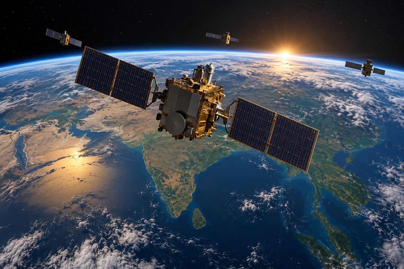
NavIC, formerly the Indian Regional Navigation Satellite System (IRNSS), is ISRO's regional navigation system: seven satellites, three geostationary and four inclined geosynchronous, covering India and 1,500 km beyond. A receiver needs four working satellites to fix a position. On 29 July 2026 the Department of Space told the Lok Sabha that only three now provide navigation services.
Syllabus: Prelims · Science & Technology; GS3 · Indian Achievements in S&T; GS3 · IT, Space, Biotech & IPR
Why this matters for UPSC
NavIC is a GS3 science and technology topic on space and indigenisation. Prelims asks its orbits, coverage, services and signals, and how GAGAN differs; Mains, satellite navigation, strategic autonomy and why the constellation has thinned.
In short
NavIC, formerly IRNSS, is India's ISRO-built regional satellite navigation system, designed to give position, navigation and timing over India and 1,500 km beyond, independent of foreign constellations.
NavIC's worth is sovereign control, not coverage; restoring the seven-satellite base layer with reliable indigenous clocks is what turns that control into service.
Why it matters
A phone or vehicle tracker that reads NavIC still shows where it is today, because such receivers also take signals from GPS and other systems. What India has lost for now is a position worked out only from satellites it controls. If a foreign operator degraded or switched off its signals during a conflict, soldiers and ships that need an exact location would have no fully Indian fallback, though NavIC's timing still works. A satellite launched once is not enough: each ageing one has to be replaced before its clock gives out. The larger issue is technological sovereignty, keeping critical infrastructure in space under national control and in working order.
Prelims pointers
- Orbits (ISRO): three geostationary satellites at 32.5°E, 83°E and 129.5°E; four inclined geosynchronous at 29° inclination, two crossing the equator at 55°E and two at 111.75°E.
- Coverage: the primary service area is India and up to 1,500 km beyond; the extended area runs to 30°S-50°N and 30°E-130°E. NavIC is regional, not global.
- Services: the Standard Positioning Service is open and unencrypted; the Restricted Service is encrypted for authorised users. Both use L5 (1176.45 MHz) and S band; L1 is 1575.42 MHz.
- Systems by owner (ISRO): global GPS (US), GLONASS (Russia), Galileo (European Union), BeiDou (China); regional NavIC (India) and QZSS (Japan).
- GAGAN (GPS Aided GEO Augmented Navigation): built by ISRO and the Airports Authority of India; unlike NavIC, it gives integrity data and supports safety-of-life aviation.
- NVS-01 (GSLV-F12, 2023): 12-year mission life; navigation payloads in L1, L5 and S; a C-band transponder for two-way ranging; indigenous rubidium atomic clock.
- Selective Availability: the US's deliberate degradation of civilian GPS for national security, ended on 1 May 2000; in 2007 the US decided to procure GPS III satellites without it.
Practise a UPSC-style question
With reference to the Navigation with Indian Constellation (NavIC), consider the following statements:
1. It has four satellites in geostationary orbit and three in inclined geosynchronous orbit.
2. Its satellites are placed at an altitude of about 36,000 km, higher than GPS satellites.
3. Its Restricted Service is an encrypted service meant for authorised users.
Which of the statements given above is/are correct?
- (a) 1 and 2 only
- (b) 2 and 3 only
- (c) 1 and 3 only
- (d) 1, 2 and 3
Show the answer
Answer: (b) 2 and 3 only
Answer: (b) 2 and 3 only. NavIC flies high, about 36,000 km, and its Restricted Service is encrypted; the orbit split is reversed.
Statement 1: incorrect. The design has three satellites in geostationary orbit (32.5°E, 83°E, 129.5°E) and four in inclined geosynchronous orbit at 29°.
Statement 2: correct. NavIC satellites are in geostationary and geosynchronous orbits at about 36,000 km; GPS satellites are in medium earth orbit at about 20,000 km.
Statement 3: correct. The Standard Positioning Service is open to all; the Restricted Service is encrypted and given only to authorised, strategic users.
Eliminate: Statement 1 swaps the numbers, since NavIC has three geostationary and four inclined satellites, so every option with 1 goes. Out: (a), (c), (d).
Trap: Near-miss figure. The total of seven is right, but the three and four are swapped between the two orbit types, a split UPSC has tested before.
Remember: NavIC = 3 geostationary + 4 inclined geosynchronous, about 36,000 km up; SPS open, RS encrypted.
More Explainers
- State Legislative Councils: Articles 168-172 and the graduates' and teachers' seats Polity
- Whales and dolphins in Indian waters: legal protection, IUCN status and strandings Environment
- The Aligarh Movement, AMU and the Article 30 minority test Polity
- Environmental clearance by States: SEIAA, SEAC and the EIA Notification, 2006 Environment
- Software vulnerabilities: CVE, CVSS, coordinated disclosure and CERT-In's role Sci-Tech
- Drug trafficking law in India: NDPS Act, PIT-NDPS, NCB and NCORD National
- Choosing the UN Secretary-General: Article 97, UNSC veto and straw polls World & IR
- UN Convention against Torture, and why India has not ratified it Polity
- International Energy Agency: membership, 90-day oil stocks and India's status World & IR
- PM Surya Ghar: Muft Bijli Yojana and the rooftop solar subsidy Economy
- HFSS foods: FSSAI's draft limits and front-of-pack warning labels National
- HTT-40 basic trainer and the IAF's pilot-training pipeline Defence