
Thwaites Glacier, grounding zones and marine ice-sheet instability
Why in news: A Nature Communications study published online on 12 October 2026 projects up to 30 ± 6 mm of sea-level rise from Thwaites by 2100.
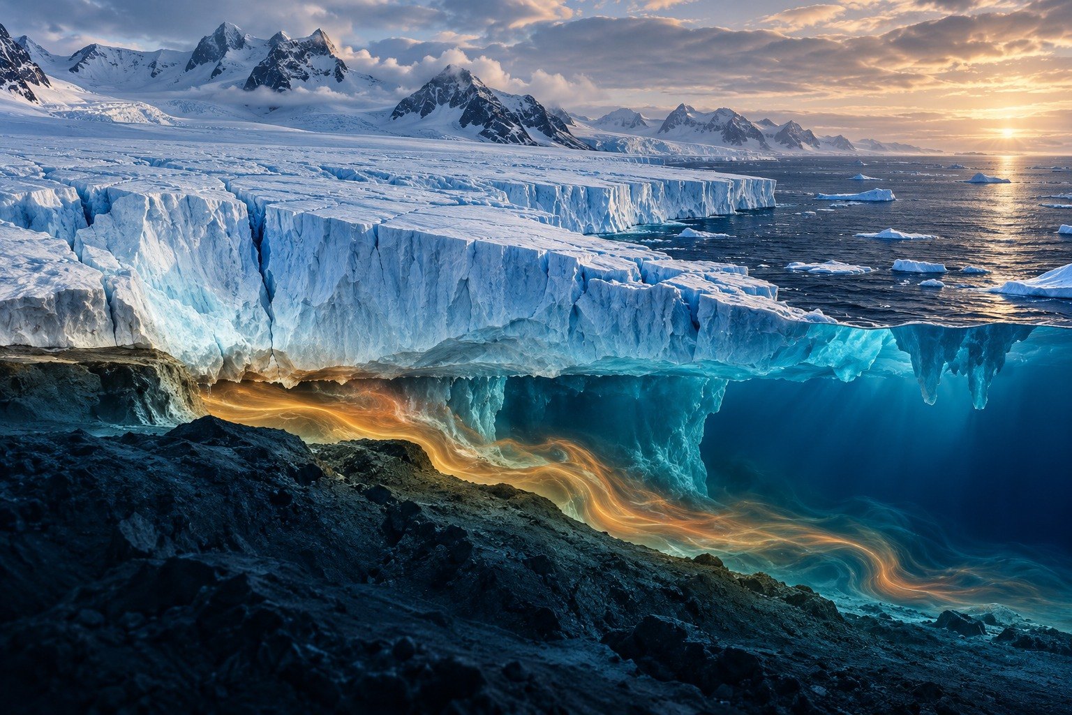
Thwaites Glacier in West Antarctica, about 120 km wide, holds ice equal to 65 cm of global sea level and is retreating as warm ocean water melts it from below. A Nature Communications study published on 12 October 2026 projects it could add up to 30 ± 6 mm to global sea level by 2100, about double earlier projections.
Syllabus: Prelims · Environment & Ecology; GS1 · Geophysical Phenomena; GS3 · Environment & Conservation
Why this matters for UPSC
GS1 geography (changes in ice-caps) and GS3 climate change: Prelims asks where Thwaites Glacier lies, what a grounding line and marine ice-sheet instability are, and India's Antarctic stations; Mains, Antarctic ice loss and sea-level risk.
In short
Thwaites Glacier, the widest on Earth, drains West Antarctic ice into the Amundsen Sea; ocean water melting it from below makes it a key source of uncertainty in sea-level projections.
Thwaites shows that kilometre-scale melting at the ice base can double sea-level projections; models must include grounding zones, and emission cuts remain the best hope of delaying the loss.
Why it matters
A family in a low-lying coastal city faces higher storm surges and more frequent flooding as sea level creeps up; a few centimetres more can turn a rare flood into a routine one. Rignot says the findings point to greater coastal flood risk in the coming decades than expected. Thwaites also matters because it holds back a larger mass of West Antarctic ice: the ice sheet's collapse, over centuries to millennia, would raise seas by about 3.3 m. The wider issue is that planners rely on model projections, and a missed process at the ice base can halve the risk they prepare for.
Prelims pointers
- Thwaites Glacier: the widest glacier on Earth, about 120 km, on the north coast of West Antarctica, roughly midway between UK's Rothera and US McMurdo stations.
- West Antarctic Ice Sheet: covers about 3.4 million sq km; its collapse would raise global sea level by about 3.3 m over centuries to millennia.
- Sea-level equivalent (IPCC): 362.5 gigatonnes of water added to the ocean raises global mean sea level by 1 mm.
- Thwaites loses about 50 billion tonnes of ice a year more than snowfall adds, and its surface ice moves over 2 km a year near the grounding line.
- India's Antarctic stations: Dakshin Gangotri (1983, first), Maitri (1989) and Bharati (2012); India has been a Consultative Party to the Antarctic Treaty since 1983.
- National Centre for Polar and Ocean Research (NCPOR): runs India's Antarctic expeditions under the Ministry of Earth Sciences; it hosted the 46th Antarctic Treaty Consultative Meeting in Kochi in 2024.
Practise a UPSC-style question
With reference to Thwaites Glacier, consider the following statements:
1. It is part of the East Antarctic Ice Sheet and drains into the Weddell Sea.
2. It is the widest glacier on Earth, about 120 km across.
3. Its complete collapse would raise global sea level by about 65 cm.
Which of the statements given above is/are correct?
- (a) 1 and 2 only
- (b) 2 and 3 only
- (c) 1 and 3 only
- (d) 1, 2 and 3
Show the answer
Answer: (b) 2 and 3 only
Answer: (b) 2 and 3 only. Thwaites is a West Antarctic glacier draining to the Amundsen Sea.
Statement 1: incorrect. Thwaites is part of the West Antarctic Ice Sheet and lies in the Amundsen Sea Embayment, not the Weddell Sea.
Statement 2: correct. The ITGC gives its width as about 120 km, the widest on Earth.
Statement 3: correct. Its sea-level equivalent is about 65 cm, per the ITGC and the 2026 study.
Eliminate: Statement 1 is the surest call, as Thwaites is the textbook West Antarctic glacier. Out: (a), (c), (d).
Trap: Swapped attribution. A true glacier is placed in the wrong ice sheet and the wrong sea.
Remember: Thwaites: West Antarctica, Amundsen Sea, 120 km wide, 65 cm of sea level.
More Explainers
- State Legislative Councils: Articles 168-172 and the graduates' and teachers' seats Polity
- Whales and dolphins in Indian waters: legal protection, IUCN status and strandings Environment
- The Aligarh Movement, AMU and the Article 30 minority test Polity
- Environmental clearance by States: SEIAA, SEAC and the EIA Notification, 2006 Environment
- Software vulnerabilities: CVE, CVSS, coordinated disclosure and CERT-In's role Sci-Tech
- Drug trafficking law in India: NDPS Act, PIT-NDPS, NCB and NCORD National
- Choosing the UN Secretary-General: Article 97, UNSC veto and straw polls World & IR
- UN Convention against Torture, and why India has not ratified it Polity
- NavIC: why India's navigation constellation cannot give a standalone position Sci-Tech
- International Energy Agency: membership, 90-day oil stocks and India's status World & IR
- PM Surya Ghar: Muft Bijli Yojana and the rooftop solar subsidy Economy
- HFSS foods: FSSAI's draft limits and front-of-pack warning labels National