
The 4.2 ka arid event and Holocene monsoon change
Why in news: On 16 October 2026, PIB reported a BSIP study reconstructing 4,600 years of monsoon history from Karela Lake in the Central Ganga Plain.
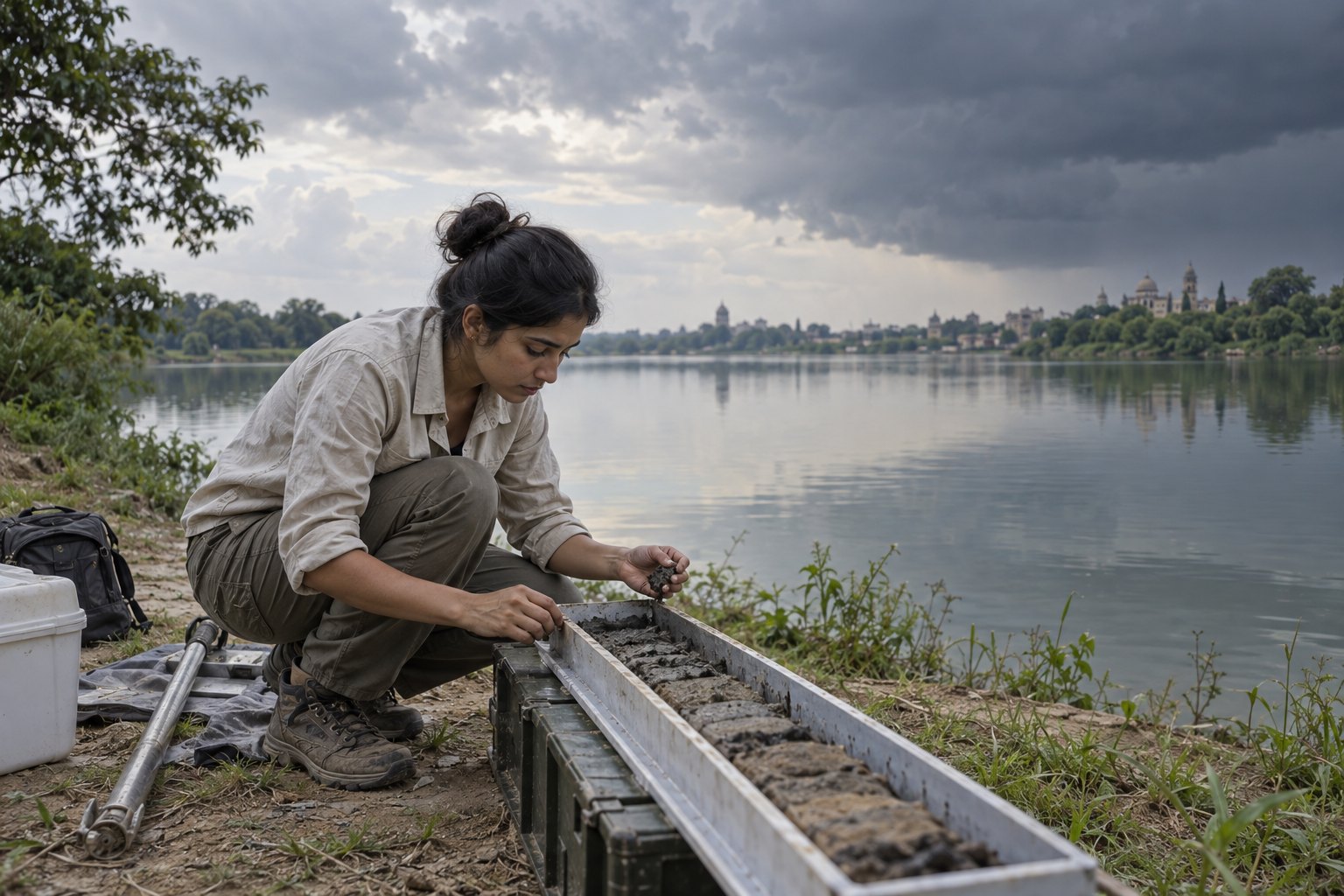
The 4.2 ka event was an abrupt weakening of the Indian Summer Monsoon about 4,200 years ago, now the marker for the base of the Meghalayan Stage of the Holocene. A Birbal Sahni Institute of Palaeosciences study of Karela Lake near Lucknow, released by PIB on 16 October 2026, traced it and later monsoon swings across 4,600 years.
Syllabus: Prelims · History & Culture; Prelims · Environment & Ecology; GS1 · World Physical Geography
Why this matters for UPSC
GS1 geography and history meet here: Prelims can ask about the Holocene stages, the Meghalayan Stage's Mawmluh Cave stratotype and oxbow lakes; Mains, about how monsoon failures may have pressed on the Harappan cities and how later Ganga plain farmers adapted.
In short
The 4.2 ka event was an abrupt, centuries-long weakening of the monsoon about 4,200 years ago; since 2018 it defines the base of the Meghalayan, the youngest Holocene stage.
The monsoon has failed for centuries before; protecting the lakes and caves that record it and planning on that longer baseline is prudent adaptation.
Why it matters
Farmers across north India still depend on the summer monsoon, and a run of weak years ruins crops and drains ponds and wells. The lake and cave records show that the monsoon has failed for centuries at a stretch before, and that early farmers adapted how they farmed. Knowing how often such long dry spells came, and how the land and its wetlands reacted, gives planners a baseline longer than any rain-gauge record when they prepare for drought, floods and water shortages in one of the most crowded farming regions on Earth. It also tempers easy stories of collapse: climate pressed on ancient societies, but how they adapted decided what followed.
Prelims pointers
- Holocene stages in order: Greenlandian (oldest), Northgrippian, Meghalayan (latest); they match the Lower, Middle and Upper Holocene subseries.
- Greenlandian and Northgrippian boundaries are defined in the NGRIP2 and NGRIP1 Greenland ice cores respectively.
- Mawmluh Cave lies on the southern edge of the Meghalaya Plateau near Sohra (Cherrapunji); its stalagmite KM-A holds the Meghalayan GSSP.
- Holocene subdivision proposal: Subcommission on Quaternary Stratigraphy, approved by ICS, ratified by the IUGS Executive Committee on 14 June 2018.
- NCERT dates the whole Harappan civilisation to 6000-1300 BCE, with the urban Mature Harappan phase at 2600-1900 BCE.
- Oxbow lakes, meanders, sand bars and braided channels mark the mature fluvial stage of the Northern Plains, including the Ganga plain, per NCERT.
- BSIP began as an Institute of Palaeobotany founded by Birbal Sahni in 1946; Nehru laid its building's foundation stone in 1949.
Practise a UPSC-style question
With reference to the formal subdivision of the Holocene, consider the following statements:
1. The boundary of the Meghalayan Stage is defined in a speleothem from Mawmluh Cave in Meghalaya.
2. The boundaries of the Greenlandian and Northgrippian Stages are defined in marine sediment cores from the North Atlantic.
3. The subdivision was ratified by the Executive Committee of the International Union of Geological Sciences.
Which of the statements given above is/are correct?
- (a) 1 and 2 only
- (b) 2 and 3 only
- (c) 1 and 3 only
- (d) 1, 2 and 3
Show the answer
Answer: (c) 1 and 3 only
Answer: (c) 1 and 3 only. The Meghalayan sits in an Indian cave and IUGS ratified the scheme; the older two stages sit in ice.
Statement 1: correct. A stalagmite (speleothem) from Mawmluh Cave near Sohra, Meghalaya, is the Global Boundary Stratotype Section and Point of the Meghalayan Stage.
Statement 2: incorrect. The Greenlandian and Northgrippian boundaries are defined in the NGRIP2 and NGRIP1 ice cores from Greenland, not in ocean sediments.
Statement 3: correct. The proposal came from the Subcommission on Quaternary Stratigraphy, was approved by ICS and was ratified by the IUGS Executive Committee on 14 June 2018.
Eliminate: statement 2 is wrong, since the stage names point to Greenland ice. Out: (a), (b), (d).
Trap: Swapped attribution. The statement keeps the right stages but pins their boundaries on marine cores instead of Greenland ice cores, a plausible-sounding archive.
Remember: Greenlandian and Northgrippian in Greenland ice; Meghalayan in Mawmluh Cave stalagmite.
More Explainers
- State Legislative Councils: Articles 168-172 and the graduates' and teachers' seats Polity
- Whales and dolphins in Indian waters: legal protection, IUCN status and strandings Environment
- The Aligarh Movement, AMU and the Article 30 minority test Polity
- Environmental clearance by States: SEIAA, SEAC and the EIA Notification, 2006 Environment
- Software vulnerabilities: CVE, CVSS, coordinated disclosure and CERT-In's role Sci-Tech
- Drug trafficking law in India: NDPS Act, PIT-NDPS, NCB and NCORD National
- Choosing the UN Secretary-General: Article 97, UNSC veto and straw polls World & IR
- UN Convention against Torture, and why India has not ratified it Polity
- NavIC: why India's navigation constellation cannot give a standalone position Sci-Tech
- International Energy Agency: membership, 90-day oil stocks and India's status World & IR
- PM Surya Ghar: Muft Bijli Yojana and the rooftop solar subsidy Economy
- HFSS foods: FSSAI's draft limits and front-of-pack warning labels National