
Great Nicobar Island project: the port, the clearances and the Shompen
Why in news: The Supreme Court left the Forest Rights Act PILs to the Calcutta High Court (5 Oct 2026); the Centre opposed a tribal council's impleadment plea.
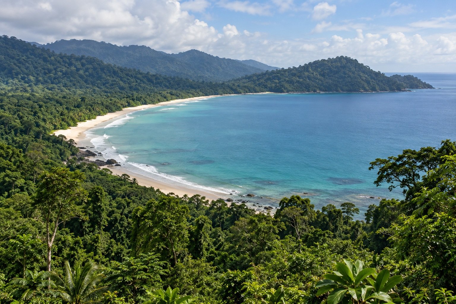
The Great Nicobar Island project plans a transshipment port at Galathea Bay, a greenfield international airport, a township and a gas-solar power plant on India's southernmost island, home to the Shompen. On 5 October 2026 the Supreme Court left challenges under the Forest Rights Act, 2006 to the Calcutta High Court.
Syllabus: Prelims · Environment & Ecology; GS3 · Infrastructure; GS2 · Welfare of Vulnerable Sections
Why this matters for UPSC
GS III asks about port infrastructure, environmental impact assessment and conservation; GS II about the Forest Rights Act, 2006 and PVTGs. Prelims can ask Great Nicobar's map facts, its Biosphere Reserve and the Shompen.
In short
The Great Nicobar Island project is a port-led strategic plan for India's southernmost island, setting maritime ambition against fragile rainforest, coral reefs and the isolated Shompen.
The port can serve India only if forest-rights consent is genuine, Shompen habitat stays protected and safeguards are independently verified.
Why it matters
A Shompen family that lives by hunting and gathering along the island's streams, and a Nicobarese fisher hoping to return to a coast abandoned after the tsunami, both stand to lose forest and shoreline to the project. For India, the same island offers a deep-water port on a busy shipping lane that could keep container trade, and the money it earns, at home instead of in Colombo or Singapore. The courts must now decide whether the forest dwellers' consent was properly taken. Their answer will shape how far strategic projects can go on the land of the smallest and most isolated communities, and how rare forests and reefs are protected.
Prelims pointers
- Indira Point, on Great Nicobar, is India's southernmost point; Great Nicobar is the southernmost island of the Nicobar archipelago, closer to Sumatra than to the mainland.
- Great Nicobar Biosphere Reserve: declared in 1989, in UNESCO's World Network of Biosphere Reserves since 2013; Mount Thullier rises to 642 m.
- The Galathea river rises in Campbell Bay National Park and flows south through Galathea National Park; its estuary is a turtle nesting ground.
- The Jarawa Policy, 2004 and the Shompen Policy, 2015 require large-scale development proposals to prioritise the welfare and integrity of Particularly Vulnerable Tribal Groups.
- Under the Forest Rights Act, 2006, gram sabhas form Forest Rights Committees and pass resolutions on claims to individual and community forest rights.
- Under the Forest Rights Act, 2006, the Sub-Divisional Level Committee examines gram sabha resolutions and maps and prepares a draft Record of Forest Rights for the District Level Committee.
- A biosphere reserve has core, buffer and transition zones; in Great Nicobar the Shompen use the core and buffer, while settlers and Nicobarese live in the transition zone.
- MoEFCC guidelines of 22 May 2019: a State or UT with over 75% forest cover may raise compensatory afforestation in other States with land banks.
Practise a UPSC-style question
With reference to Great Nicobar Island, consider the following statements:
1. Great Nicobar lies closer to the Indian mainland than to Sumatra.
2. Indira Point, at the southern tip of Great Nicobar, is the southernmost point of India.
3. The Great Nicobar Biosphere Reserve was included in UNESCO's World Network of Biosphere Reserves in 2013.
Which of the statements given above is/are correct?
- (a) 1 and 2 only
- (b) 2 and 3 only
- (c) 1 and 3 only
- (d) 1, 2 and 3
Show the answer
Answer: (b) 2 and 3 only
Answer: (b) 2 and 3 only. Indira Point and the 2013 UNESCO listing are right; the island lies nearer Sumatra than the mainland.
Statement 1: incorrect. Great Nicobar lies further south than Kanyakumari and is closer to Myanmar and Sumatra than to the Indian mainland.
Statement 2: correct. Indira Point, on Great Nicobar Island, is the southernmost point of India's territory, as MoPSW noted in 2023.
Statement 3: correct. UNESCO gives 2013 as the year of nomination of the Great Nicobar Biosphere Reserve; India declared it a biosphere reserve in 1989.
Eliminate: Judge statement 1 first: the island is nearer Sumatra than the mainland, so statement 1 is incorrect. Out: (a), (c), (d).
Trap: Reversed direction. The island's nearness is turned around, from Sumatra to the Indian mainland.
Remember: Great Nicobar: nearer Sumatra than the mainland; Indira Point is India's southern tip; UNESCO network since 2013.
More Explainers
- State Legislative Councils: Articles 168-172 and the graduates' and teachers' seats Polity
- Whales and dolphins in Indian waters: legal protection, IUCN status and strandings Environment
- The Aligarh Movement, AMU and the Article 30 minority test Polity
- Environmental clearance by States: SEIAA, SEAC and the EIA Notification, 2006 Environment
- Software vulnerabilities: CVE, CVSS, coordinated disclosure and CERT-In's role Sci-Tech
- Drug trafficking law in India: NDPS Act, PIT-NDPS, NCB and NCORD National
- Choosing the UN Secretary-General: Article 97, UNSC veto and straw polls World & IR
- UN Convention against Torture, and why India has not ratified it Polity
- NavIC: why India's navigation constellation cannot give a standalone position Sci-Tech
- International Energy Agency: membership, 90-day oil stocks and India's status World & IR
- PM Surya Ghar: Muft Bijli Yojana and the rooftop solar subsidy Economy
- HFSS foods: FSSAI's draft limits and front-of-pack warning labels National