
Coastal Regulation Zone clearance for port dredging and the National Green Tribunal
Why in news: On 26 September 2026 the NGT's Western Zone Bench stayed the clearances for Mormugao Port's channel deepening until its next hearing, set for 2 November.
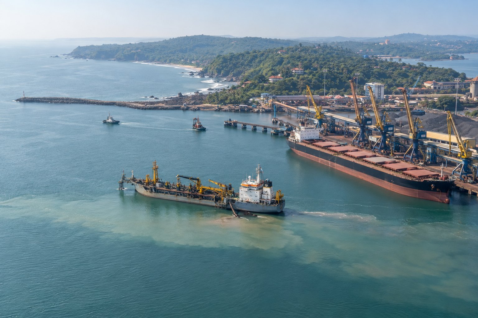
The Coastal Regulation Zone (CRZ) Notification, 2019, made under the Environment (Protection) Act, 1986, divides India's coast and sea up to 12 nautical miles into zones and fixes who clears projects in each. Most port works in CRZ-I and CRZ-IV need the Union environment ministry's clearance. The National Green Tribunal has now stayed such clearances for Mormugao Port's channel deepening.
Syllabus: Prelims · Environment & Ecology; GS2 · Statutory & Regulatory Bodies; GS3 · Infrastructure
Why this matters for UPSC
GS3 conservation and environmental impact assessment, and GS2 statutory bodies: Prelims can ask the CRZ zones, the No Development Zone widths and who clears what; Mains, how the National Green Tribunal checks environmental clearance for coastal infrastructure.
In short
The Coastal Regulation Zone (CRZ) Notification, 2019, issued under section 3 of the Environment (Protection) Act, 1986, zones the coast to balance ports against ecosystems and fishers' livelihoods.
Ports and coasts can coexist only if clearances weigh cumulative impacts honestly; careful, project-specific approvals keep the NGT from being the last safeguard.
Why it matters
Fishing families on Goa's Zuari estuary and residents of Vasco da Gama near the port are the people a deeper shipping channel touches first. Larger ships can mean more coal and ore moving through the port, and so more dust in the air nearby; digging up the seabed can disturb the places where fish breed. The coastal rules exist so that these costs are weighed before a project begins, not after. When a ministry's approval looks careless, the tribunal can pause it, which protects people for now but delays the port. The larger issue is whether India can build ports for trade without the coast and its communities paying the price.
Prelims pointers
- CRZ-III A covers rural coastal areas with population density above 2,161 per sq km as per the 2011 Census; the rest is CRZ-III B.
- The 2019 notification sets a No Development Zone of 20 metres for islands close to the mainland coast and for backwater islands.
- Along tidal water bodies, the CRZ applies upstream as far as tidal effects reach, fixed by a salinity of five parts per thousand in the driest period.
- The No Development Zone does not apply within notified port limits under the CRZ Notification, 2019.
- Critically Vulnerable Coastal Areas under the 2019 notification include the Sundarban in West Bengal, the Gulf of Mannar in Tamil Nadu and Vembanad in Kerala.
- An NGT order can be appealed to the Supreme Court within 90 days on the grounds in section 100 of the Code of Civil Procedure, 1908.
- The NGT Act, 2010 provides for 10 to 20 full-time Judicial Members and as many Expert Members, equal in number on each bench hearing a case.
- Under the EIA Notification, 2006, screening applies only to Category B projects, which are split into B1, needing an EIA report, and B2.
Practise a UPSC-style question
With reference to the Coastal Regulation Zone (CRZ) Notification, 2019, consider the following statements:
1. The High Tide Line used to draw the zones is demarcated by the Survey of India.
2. The intertidal zone between the Low Tide Line and the High Tide Line constitutes CRZ-I B.
3. CRZ-IV A covers the water and seabed from the Low Tide Line up to 12 nautical miles seaward.
Which of the statements given above is/are correct?
- (a) 1 and 2 only
- (b) 2 and 3 only
- (c) 1 and 3 only
- (d) 1, 2 and 3
Show the answer
Answer: (b) 2 and 3 only
Answer: (b) 2 and 3 only. The High Tide Line is demarcated by the National Centre for Sustainable Coastal Management, so only the two zone statements stand.
Statement 1: incorrect. The 2019 notification says the High Tide Line is demarcated by the National Centre for Sustainable Coastal Management (NCSCM), Chennai.
Statement 2: correct. Paragraph 2.1.2 makes the intertidal zone, between the Low Tide Line and the High Tide Line, CRZ-I B.
Statement 3: correct. Paragraph 2.4.1 makes the water and seabed from the Low Tide Line to twelve nautical miles CRZ-IV A.
Eliminate: Judge statement 1 first: the demarcating body is the NCSCM, so statement 1 is incorrect. Out: (a), (c), (d).
Trap: Swapped attribution. The Survey of India, which supplies the base maps for coastal plans, is credited with a task the notification gives to the NCSCM.
Remember: HTL is drawn by the NCSCM; CRZ-I B is intertidal; CRZ-IV A runs to 12 nautical miles.
More Explainers
- State Legislative Councils: Articles 168-172 and the graduates' and teachers' seats Polity
- Whales and dolphins in Indian waters: legal protection, IUCN status and strandings Environment
- The Aligarh Movement, AMU and the Article 30 minority test Polity
- Environmental clearance by States: SEIAA, SEAC and the EIA Notification, 2006 Environment
- Software vulnerabilities: CVE, CVSS, coordinated disclosure and CERT-In's role Sci-Tech
- Drug trafficking law in India: NDPS Act, PIT-NDPS, NCB and NCORD National
- Choosing the UN Secretary-General: Article 97, UNSC veto and straw polls World & IR
- UN Convention against Torture, and why India has not ratified it Polity
- NavIC: why India's navigation constellation cannot give a standalone position Sci-Tech
- International Energy Agency: membership, 90-day oil stocks and India's status World & IR
- PM Surya Ghar: Muft Bijli Yojana and the rooftop solar subsidy Economy
- HFSS foods: FSSAI's draft limits and front-of-pack warning labels National