
WINDS: the weather-station network behind crop insurance
Why in news: A July 2026 Rajya Sabha reply put WINDS installations at 892 stations and gauges; PIB's 29 August 2026 PMFBY backgrounder set out its role.
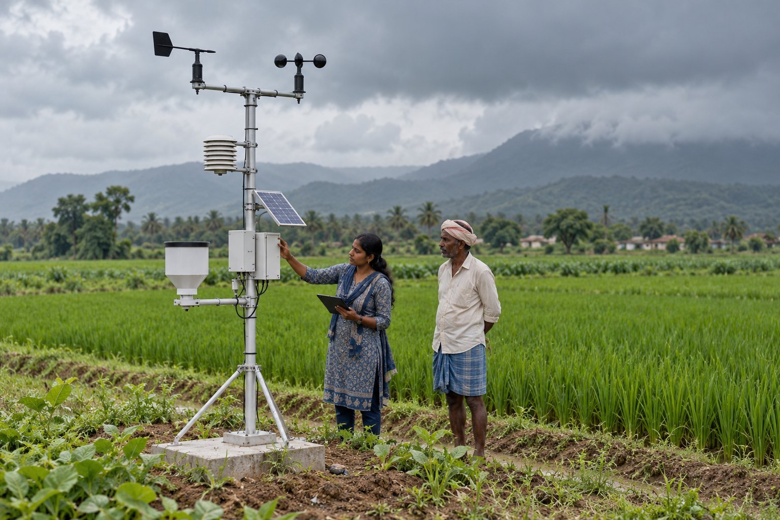
The Weather Information Network and Data System (WINDS), launched by the Union Agriculture Ministry in July 2023, sets up Automatic Weather Stations at block level and Automatic Rain Gauges at gram panchayat level. Their hyperlocal data feed crop-insurance claims under PMFBY. A July 2026 Rajya Sabha reply put installations at 892 stations and gauges.
Syllabus: Prelims · Current Affairs & IR; GS3 · Agriculture & Irrigation; GS2 · Government Policies
Why this matters for UPSC
WINDS belongs to GS3 (e-technology in aid of farmers, crop insurance, disaster management). Prelims can ask its station tiers, FIAT funding and how RWBCIS triggers payouts; Mains, how technology makes PMFBY claims fairer and faster.
In short
WINDS, the Agriculture Ministry's Weather Information Network and Data System of July 2023, builds dense ground weather stations so crop-insurance claims under PMFBY rest on hyperlocal data.
WINDS can make crop insurance answer to the weather a farm actually saw, but only if approved sites become working, well-maintained stations quickly.
Why it matters
A farmer whose paddy wilts in a dry spell, or whose ripe crop is flattened by unseasonal rain, is paid only if the insurer accepts that the weather really turned. Under weather-index cover, that judgement rests on the nearest station's readings. When the station is far away, a local hailstorm or cloudburst can go unrecorded and a genuine loss goes unpaid, or a dispute drags on for months. A station in the block and a rain gauge in the panchayat bring the record close to the field, so claims are settled faster and on evidence both sides trust. The same data help district officials plan for droughts and floods, part of making Indian farming ready for a changing climate.
Prelims pointers
- WINDS tiers: Automatic Weather Stations at block or tehsil level; Automatic Rain Gauges at gram panchayat level; target five times the existing network density.
- WINDS is an initiative of the Ministry of Agriculture and Farmers Welfare under PMFBY and RWBCIS; governments pay only data rental costs.
- PMFBY premiums: farmers pay at most 2% for Kharif and 1.5% for Rabi food and oilseed crops, and 5% for commercial and horticultural crops.
- PMFBY premium subsidy: Centre and States share it 50:50; for North-Eastern and Himalayan States and UTs, 90:10.
- PMFBY and RWBCIS are Central Sector Schemes; PMFBY covers tenant farmers and sharecroppers, and excludes losses from war, nuclear risks, riots and theft.
- RWBCIS works on an area approach in Reference Unit Areas, at PMFBY's premium rates, and is widely used for fruit, vegetable and plantation crops.
- YES-TECH: remote-sensing yield estimation, introduced for paddy and wheat in Kharif 2023 and soybean in Kharif 2024, with at least 30% weightage.
Practise a UPSC-style question
With reference to the Weather Information Network and Data System (WINDS), consider the following statements:
1. Automatic Weather Stations under it are planned at the block or tehsil level.
2. Automatic Rain Gauges under it are planned at the district level.
3. The Central and State Governments pay only data rental costs for the network.
Which of the statements given above is/are correct?
- (a) 1 and 2 only
- (b) 2 and 3 only
- (c) 1 and 3 only
- (d) 1, 2 and 3
Show the answer
Answer: (c) 1 and 3 only
Answer: (c) 1 and 3 only. Rain gauges go to every gram panchayat, not the district, so statement 2 fails.
Statement 1: correct. WINDS places Automatic Weather Stations at block or tehsil level, the upper of its two tiers.
Statement 2: incorrect. Automatic Rain Gauges are planned at gram panchayat level, the finer tier, not at district level.
Statement 3: correct. Under WINDS, the Cabinet's January 2025 release says only data rental costs are payable by the Centre and States.
Eliminate: Judge statement 2 first: rain gauges sit at gram panchayat level, so it is incorrect. Out: (a), (b), (d).
Trap: Wrong scope. The rain-gauge tier is pushed up from the gram panchayat to the district, a level that sounds official but is far too coarse.
Remember: WINDS: weather stations per block, rain gauges per gram panchayat; governments pay only for data.
More Explainers
- State Legislative Councils: Articles 168-172 and the graduates' and teachers' seats Polity
- Whales and dolphins in Indian waters: legal protection, IUCN status and strandings Environment
- The Aligarh Movement, AMU and the Article 30 minority test Polity
- Environmental clearance by States: SEIAA, SEAC and the EIA Notification, 2006 Environment
- Software vulnerabilities: CVE, CVSS, coordinated disclosure and CERT-In's role Sci-Tech
- Drug trafficking law in India: NDPS Act, PIT-NDPS, NCB and NCORD National
- Choosing the UN Secretary-General: Article 97, UNSC veto and straw polls World & IR
- UN Convention against Torture, and why India has not ratified it Polity
- NavIC: why India's navigation constellation cannot give a standalone position Sci-Tech
- International Energy Agency: membership, 90-day oil stocks and India's status World & IR
- PM Surya Ghar: Muft Bijli Yojana and the rooftop solar subsidy Economy
- HFSS foods: FSSAI's draft limits and front-of-pack warning labels National