
India's landmark bridges, tunnels and high-speed rail corridors
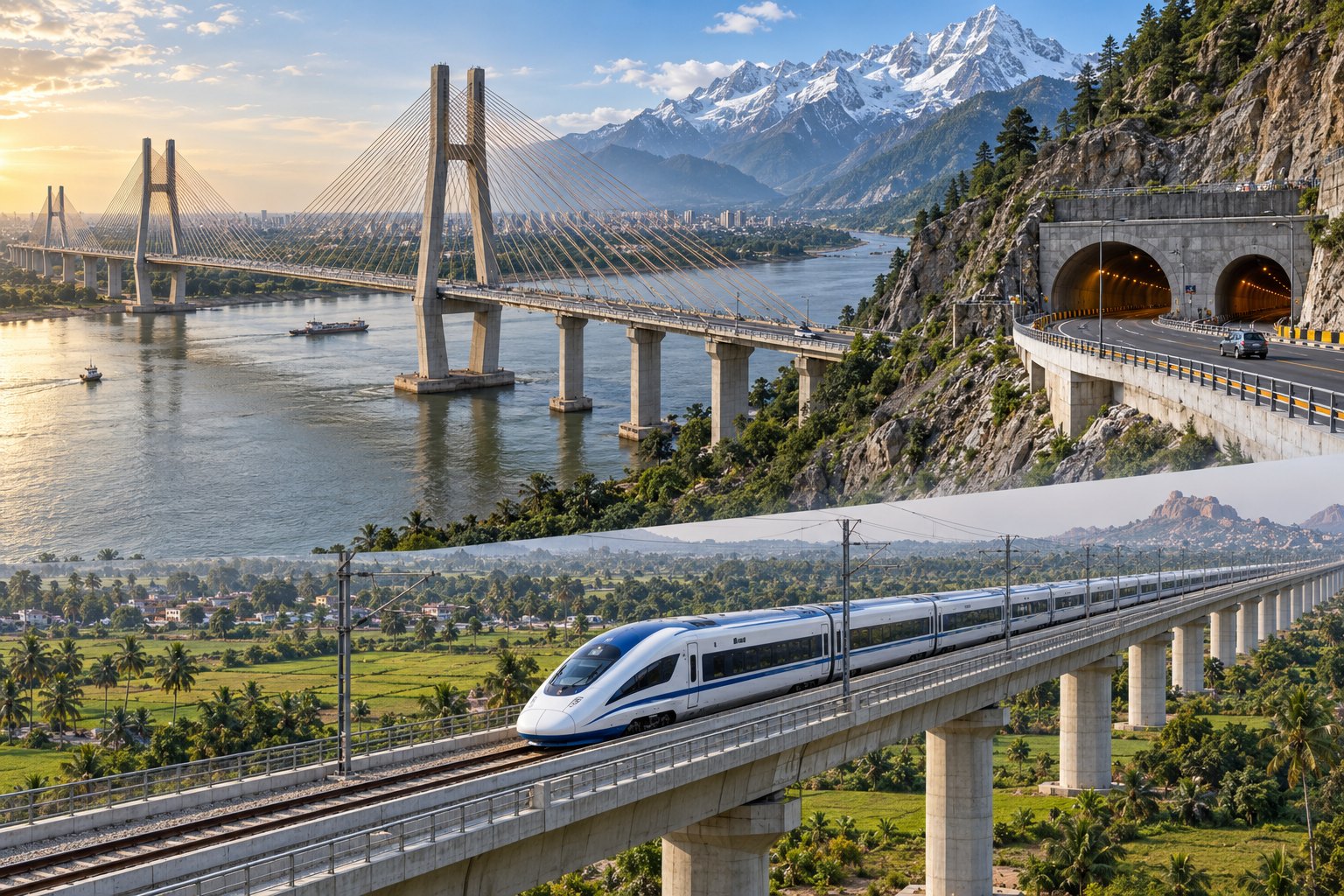
India's newer bridges, tunnels, expressways and rail corridors replace long detours around rivers, creeks and high passes: Bogibeel spans the Brahmaputra, Atal Setu crosses Mumbai's harbour and the Atal Tunnel runs beneath Rohtang Pass. The Union Budget 2026–27 announced seven high-speed rail corridors. A government factsheet of 5 October 2026 sets out the time it says each saves.
Syllabus: Prelims · Geography; GS3 · Infrastructure; GS3 · Border Security & Organised Crime
In short
India's new bridges, tunnels, expressways and rail corridors replace river detours, snow-prone passes and slow routes with direct links, judged by the hours they save.
By the government's figures, these crossings turned day-long trips into hours; further spending must follow traffic and viability, and spare fragile slopes and coasts.
Why it matters
A family in Dhemaji that once spent most of a day reaching Dibrugarh's hospitals and markets across the Brahmaputra can now, by the government's account, make the trip in one to two hours. A soldier posted near Tawang or in Lahaul no longer depends on a pass that snow can close. In Mumbai, a worker can live in Navi Mumbai and still reach the city quickly. Shorter journeys widen the area from which people can reach jobs, schools and markets. The larger issue is that in the North-East and the Himalaya, roads, bridges and tunnels serve both development and border security, while the money they cost must be weighed against traffic, slopes, rivers and fragile ecology.
Prelims pointers
- Lohit: a major tributary of the Brahmaputra; the Dhola–Sadiya Bridge across it joins Assam and Arunachal Pradesh.
- Bogibeel Bridge: rail-cum-road bridge across the Brahmaputra that lets people north of the river reach Dibrugarh more easily.
- Atal Tunnel: under Rohtang Pass in the Pir Panjal range, Himachal Pradesh; built by the Border Roads Organisation; links Manali with Lahaul–Spiti.
- Banihal–Qazigund road tunnel: joins the Jammu region with the Kashmir valley; newer than the 1956 Jawahar Tunnel through the Pir Panjal.
- Chenani–Nashri (Dr Syama Prasad Mookerjee) Tunnel: on the Jammu–Srinagar National Highway in Jammu and Kashmir.
- Sela Tunnel: bypasses Sela Pass on the road to Tawang, Arunachal Pradesh; built by the Border Roads Organisation.
- Mumbai–Ahmedabad High-Speed Rail: Japanese Shinkansen technology, financed with loans from the Japan International Cooperation Agency.
- Samruddhi Mahamarg: 701 km Mumbai–Nagpur access-controlled expressway in Maharashtra.
Practise a UPSC-style question
Consider the following pairs:
(Bridge : Water body it crosses)
1. Bhupen Hazarika Setu : Dibang
2. Bogibeel Bridge : Brahmaputra
3. Atal Setu : Thane Creek
How many of the above pairs are correctly matched?
- (a) Only one
- (b) Only two
- (c) All three
- (d) None
Show the answer
Answer: (b) Only two
1 is incorrectly matched: the Bhupen Hazarika Setu (Dhola–Sadiya Bridge) crosses the Lohit, not the Dibang. 2 is correctly matched: Bogibeel is a rail-cum-road bridge across the Brahmaputra in Assam. 3 is correctly matched: Atal Setu, the Mumbai Trans Harbour Link, crosses Thane Creek between Mumbai and Navi Mumbai.
More Explainers
- State Legislative Councils: Articles 168-172 and the graduates' and teachers' seats Polity
- Whales and dolphins in Indian waters: legal protection, IUCN status and strandings Environment
- The Aligarh Movement, AMU and the Article 30 minority test Polity
- Environmental clearance by States: SEIAA, SEAC and the EIA Notification, 2006 Environment
- Software vulnerabilities: CVE, CVSS, coordinated disclosure and CERT-In's role Sci-Tech
- Drug trafficking law in India: NDPS Act, PIT-NDPS, NCB and NCORD National
- Choosing the UN Secretary-General: Article 97, UNSC veto and straw polls World & IR
- UN Convention against Torture, and why India has not ratified it Polity
- NavIC: why India's navigation constellation cannot give a standalone position Sci-Tech
- International Energy Agency: membership, 90-day oil stocks and India's status World & IR
- PM Surya Ghar: Muft Bijli Yojana and the rooftop solar subsidy Economy
- HFSS foods: FSSAI's draft limits and front-of-pack warning labels National