
India-Bangladesh maritime boundary under UNCLOS: the 2014 award and grey area
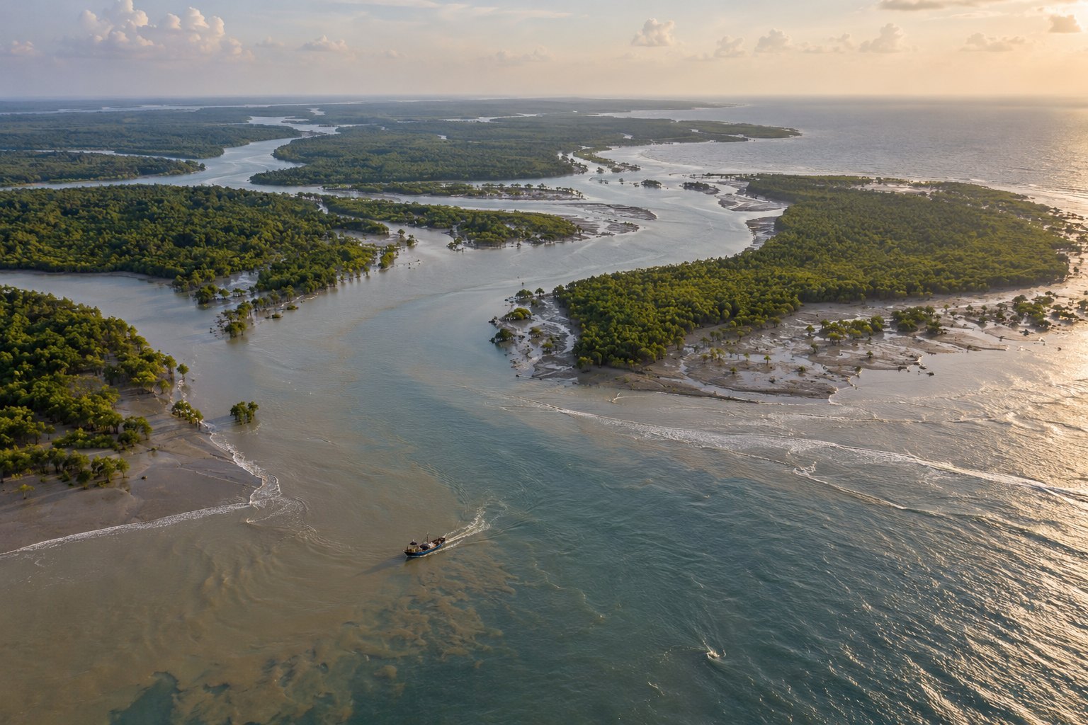
The India-Bangladesh maritime boundary was fixed by a five-member tribunal under Annex VII of the United Nations Convention on the Law of the Sea in an award of 7 July 2014. It divided the territorial sea, exclusive economic zone and continental shelf, leaving a grey area where seabed and water rights differ. Maritime experts urged cooperation there in November 2025.
Syllabus: Prelims · Geography; GS2 · India & its Neighbourhood; GS2 · International Institutions
Why this matters for UPSC
GS2 India and its neighbourhood, and Prelims world geography: Prelims can ask the breadth and rights of UNCLOS zones and the forums under Article 287; Mains, how the 2014 award and its grey area shape India-Bangladesh maritime cooperation.
In short
The India-Bangladesh maritime boundary applies United Nations Convention on the Law of the Sea (UNCLOS) zones to the concave Bay of Bengal; a 2014 arbitral award fixed it.
The award settled the line, but the grey area works only if India and Bangladesh build joint rules for seabed and water-column use.
Why it matters
Fishers, oil and gas explorers and coast guards on both sides of the Bay of Bengal now know which state's rules apply where, after decades of rival claims. The award also shows a quieter point: a sea boundary need not be one line. In the grey area, a company drilling into the seabed answers to Bangladesh, while fishing in the waters above falls under India's rules. That works only if the two governments talk to each other before approving projects. The case also shows India accepting a binding ruling by a neutral tribunal, a stance it can cite when it asks other states to respect the law of the sea.
Prelims pointers
- Article 287 of UNCLOS offers four forums: the International Tribunal for the Law of the Sea, the International Court of Justice, Annex VII arbitration and Annex VIII special arbitration.
- The International Tribunal for the Law of the Sea is set up under Annex VI of UNCLOS and sits in Hamburg, Germany.
- The Permanent Court of Arbitration is an intergovernmental organisation created by the 1899 Hague Convention on the Pacific Settlement of International Disputes.
- A continental shelf beyond 200 nautical miles may not exceed 350 nautical miles from baselines or 100 nautical miles from the 2,500 metre isobath.
- Under Article 296 of UNCLOS, a decision binds only the parties and only in respect of that particular dispute.
- The Bay of Bengal covers about 2.2 million sq km and is bordered by Sri Lanka, India, Bangladesh and Myanmar.
- The 2011 Protocol to the 1974 Land Boundary Agreement provides for exchanging 111 Indian enclaves in Bangladesh for 51 Bangladeshi enclaves in India.
Practise a UPSC-style question
With reference to the United Nations Convention on the Law of the Sea (UNCLOS), consider the following statements:
1. The normal baseline for measuring the territorial sea is the high-water line along the coast.
2. The contiguous zone may not extend beyond 24 nautical miles from the baselines.
3. The exclusive economic zone may not extend beyond 200 nautical miles from the baselines.
Which of the statements given above is/are correct?
- (a) 1 and 2 only
- (b) 2 and 3 only
- (c) 1 and 3 only
- (d) 1, 2 and 3
Show the answer
Answer: (b) 2 and 3 only
Answer: (b) 2 and 3 only. The baseline is the low-water line, so only the two zone limits stand.
Statement 1: incorrect. Article 5 of UNCLOS makes the low-water line along the coast, as marked on official large-scale charts, the normal baseline.
Statement 2: correct. Article 33 caps the contiguous zone at 24 nautical miles from the baselines.
Statement 3: correct. Article 57 caps the exclusive economic zone at 200 nautical miles from the baselines.
Eliminate: Judge statement 1 first: UNCLOS measures from the low-water line, so statement 1 is incorrect. Out: (a), (c), (d).
Trap: Reversed direction. The statement swaps low water for high water, which sounds equally natural and changes where every zone begins.
Remember: Baseline = low-water line; 12 nm territorial sea, 24 nm contiguous zone, 200 nm EEZ.
More Explainers
- State Legislative Councils: Articles 168-172 and the graduates' and teachers' seats Polity
- Whales and dolphins in Indian waters: legal protection, IUCN status and strandings Environment
- The Aligarh Movement, AMU and the Article 30 minority test Polity
- Environmental clearance by States: SEIAA, SEAC and the EIA Notification, 2006 Environment
- Software vulnerabilities: CVE, CVSS, coordinated disclosure and CERT-In's role Sci-Tech
- Drug trafficking law in India: NDPS Act, PIT-NDPS, NCB and NCORD National
- Choosing the UN Secretary-General: Article 97, UNSC veto and straw polls World & IR
- UN Convention against Torture, and why India has not ratified it Polity
- NavIC: why India's navigation constellation cannot give a standalone position Sci-Tech
- International Energy Agency: membership, 90-day oil stocks and India's status World & IR
- PM Surya Ghar: Muft Bijli Yojana and the rooftop solar subsidy Economy
- HFSS foods: FSSAI's draft limits and front-of-pack warning labels National