
Abyei: the area Sudan and South Sudan both claim, and UNISFA
Why in news: A Sudanese army drone strike on Abyei's Amiet market on 19 October 2026 killed 53 people, Abyei's local authorities said on 20 October.
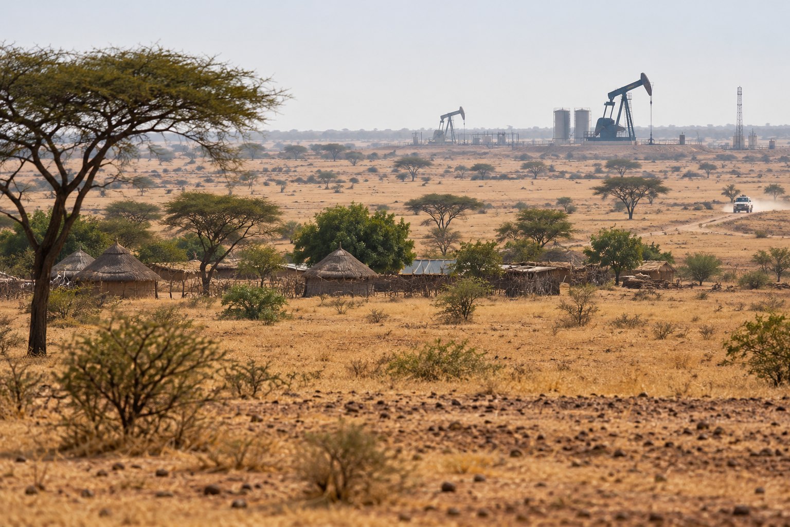
Abyei is an oil-producing area on the Sudan-South Sudan line that both countries claim. The 2005 Comprehensive Peace Agreement promised its residents a vote on which side to join, but its final status is unsettled; a UN force with an Indian battalion guards it. Abyei's authorities blame a 19 October 2026 drone strike on its Amiet market on Sudan's army.
Syllabus: Prelims · Current Affairs & IR; Prelims · Geography; GS2 · Foreign Policies & the Diaspora
Why this matters for UPSC
Abyei is a place in the news guarded by a UN force with an Indian battalion. Prelims can ask about UNISFA's founding resolution, Chapter VII and the Permanent Court of Arbitration; GS2 Mains, about UN peacekeeping and India's role in it.
In short
Abyei is an area Sudan and South Sudan both claim, defined by the 2004 Abyei Protocol as the land of nine Ngok Dinka chiefdoms transferred to Kordofan in 1905.
Abyei's boundary is drawn but its status is not; until Sudan and South Sudan agree who votes, UNISFA and its Indian battalion remain its safeguard.
Why it matters
For a Ngok Dinka family or a Misseriya herder, Abyei's unsettled status decides which government it answers to and whether cattle can reach seasonal grazing without a fight. With no agreed authority, the UN force is the main protection civilians have, and when Sudan's war spills across the line, traders and refugees in a busy market pay for it. For India, soldiers it sends under the UN flag serve beside an active war. The larger question is whether an international ruling and a peace deal can hold when the governments that signed them will not finish the job.
Prelims pointers
- Abyei Area boundaries (2009 award): north along latitude 10°10'N, east along 29°00'E, west along 27°50'E; the 1956 southern boundary was confirmed.
- Abyei Protocol, Section 1.1.3: guarantees the Misseriya and other nomadic peoples the right to graze cattle and move across the Abyei Area.
- Permanent Court of Arbitration: set up by treaty in 1899, the oldest intergovernmental body for arbitration; seated at the Peace Palace, The Hague.
- UNISFA has three sectors, with sector headquarters at Diffra (North), the Abyei town area (Central) and Anthony (South).
- UN Charter Chapter VI (Articles 33-38): pacific settlement of disputes; Article 33 lists negotiation, mediation, arbitration and judicial settlement.
- UN Charter Article 27: Security Council decisions on non-procedural matters need nine affirmative votes, including the concurring votes of the permanent members.
- UNMISS, the UN Mission in South Sudan, is a separate mission; an Indian battalion has served with it at Bor in Jonglei.
Practise a UPSC-style question
With reference to the Abyei Area, consider the following statements:
1. The Abyei Protocol defines it as the area of nine Ngok Dinka chiefdoms transferred to Darfur in 1905.
2. The Abyei Protocol was included in the Comprehensive Peace Agreement signed by Sudan's government and the SPLM/A in 2005.
3. The Ngok Dinka are the area's principal resident community and are largely aligned with South Sudan.
Which of the statements given above is/are correct?
- (a) 1 and 2 only
- (b) 2 and 3 only
- (c) 1 and 3 only
- (d) 1, 2 and 3
Show the answer
Answer: (b) 2 and 3 only
Answer: (b) 2 and 3 only. The chiefdoms were moved to Kordofan, not Darfur; the other two statements hold.
Statement 1: incorrect. Section 1.1.2 of the Abyei Protocol defines the area as the nine Ngok Dinka chiefdoms transferred to Kordofan in 1905.
Statement 2: correct. The Protocol, signed on 26 May 2004, was made part of the Comprehensive Peace Agreement of 9 January 2005.
Statement 3: correct. The Ngok Dinka are Abyei's main settled people and lean towards South Sudan; the Misseriya are seasonal herders.
Eliminate: Judge statement 1 first: the 1905 transfer was to Kordofan, so statement 1 is incorrect. Out: (a), (c), (d).
Trap: Swapped attribution. Darfur is a real neighbouring province on Abyei's western edge, so it sounds right in place of Kordofan.
Remember: Abyei = nine Ngok Dinka chiefdoms moved to Kordofan in 1905 (Abyei Protocol, part of the CPA).
More Explainers
- State Legislative Councils: Articles 168-172 and the graduates' and teachers' seats Polity
- Whales and dolphins in Indian waters: legal protection, IUCN status and strandings Environment
- The Aligarh Movement, AMU and the Article 30 minority test Polity
- Environmental clearance by States: SEIAA, SEAC and the EIA Notification, 2006 Environment
- Software vulnerabilities: CVE, CVSS, coordinated disclosure and CERT-In's role Sci-Tech
- Drug trafficking law in India: NDPS Act, PIT-NDPS, NCB and NCORD National
- Choosing the UN Secretary-General: Article 97, UNSC veto and straw polls World & IR
- UN Convention against Torture, and why India has not ratified it Polity
- NavIC: why India's navigation constellation cannot give a standalone position Sci-Tech
- International Energy Agency: membership, 90-day oil stocks and India's status World & IR
- PM Surya Ghar: Muft Bijli Yojana and the rooftop solar subsidy Economy
- HFSS foods: FSSAI's draft limits and front-of-pack warning labels National