
Himalayan earthquakes and India's seismic zone map
Why in news: A magnitude 7.0 earthquake struck northern Tibet on 22 October 2026, per the USGS; India's NCS listed over 20 aftershocks by the next evening.
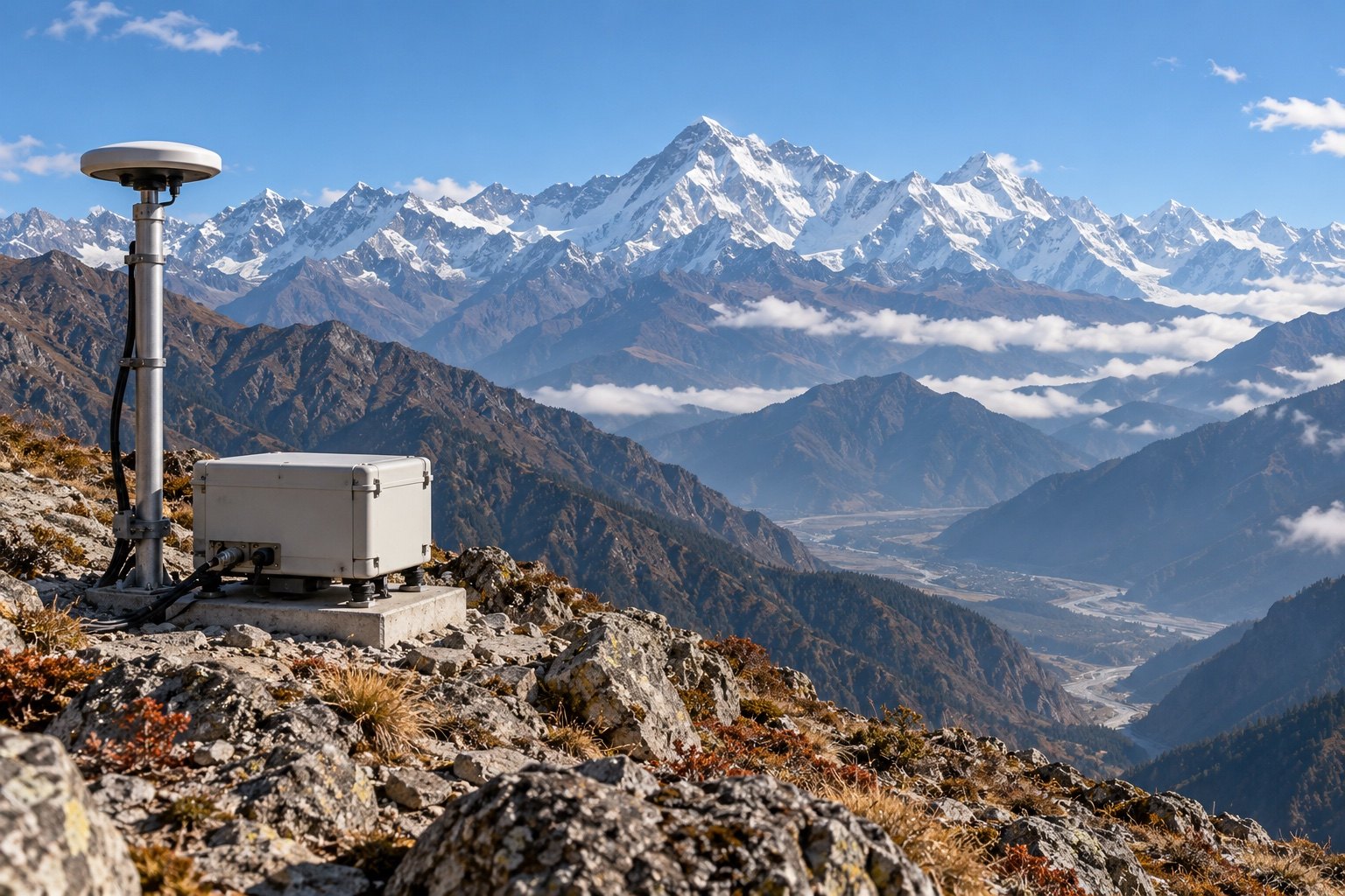
India's seismic zone map grades how strongly ground can shake. As per the updated map cited by the Ministry of Earth Sciences in December 2025, the entire Himalayan arc falls in Zone VI, the highest category. The National Centre for Seismology runs 168 observatories, per MoES (August 2025). A magnitude 7.0 earthquake struck northern Tibet on 22 October 2026.
Syllabus: Prelims · Geography; GS1 · Geophysical Phenomena; GS3 · Disaster Management
Why this matters for UPSC
GS I covers earthquakes and GS III disaster management. Prelims can ask about seismic zones, Zone VI, the NCS and its parent ministry, and early warning; Mains can ask how NDMA guidelines and building codes reduce earthquake risk.
In short
Himalayan earthquakes release strain built by the Indian plate's collision with Eurasia; India grades this hazard on a seismic zone map and manages it through NCS monitoring and NDMA guidelines.
A Zone VI label protects no one by itself; India must carry the hazard map into enforced building codes, retrofitted lifelines and faster warnings.
Why it matters
A family in Dehradun, Guwahati or Srinagar lives on ground that can shake hard with little warning. Where a town sits on the zone map decides how strongly its houses, hospitals and bridges must be built, so a higher zone means stricter design and costlier construction. A city studied block by block can keep schools and hospitals off the weakest soil. A few seconds of alert can let trains stop and people move away from walls. Without strong buildings, large quakes kill mainly through collapse. Upstream, a giant dam on an active fault in Tibet would add a flood risk for people living along the Siang and Brahmaputra.
Prelims pointers
- The National Centre for Seismology under the Ministry of Earth Sciences is the Government of India's nodal agency for monitoring earthquakes in and around the country.
- Seismic microzonation data is produced by MoES through NCS on guidelines framed by MoES; cities with 5 lakh or more people are considered for it.
- In the four-zone map, Zone V was the most active and Zone II the least; Bhuj, Guwahati, Imphal and Srinagar were among Zone V towns.
- Wadia Institute of Himalayan Geology, under the Department of Science and Technology, runs about 70 broadband seismograph stations in the north-west and north-east Himalaya (2023).
- ISRO runs about 30 GNSS-based Continuously Operating Reference Stations across the Himalayan belt to track crustal deformation (2023).
- The Yarlung Tsangpo rises in Tibet, enters Arunachal Pradesh as the Siang, becomes the Brahmaputra in Assam and enters Bangladesh as the Jamuna.
- China's Medog hydropower project sits near the Great Bend of the Yarlung Tsangpo, where the river drops into a gorge some 2,000 metres deep.
Practise a UPSC-style question
With reference to India's seismic zoning, consider the following statements:
1. The earlier seismic zoning map classified the country into four zones, from Zone II to Zone V.
2. In the earlier map, Zone II was the most seismically active zone and Zone V the least.
3. The updated seismic zonation map places the entire Himalayan arc in Seismic Zone VI.
Which of the statements given above is/are correct?
- (a) 1 and 2 only
- (b) 2 and 3 only
- (c) 1 and 3 only
- (d) 1, 2 and 3
Show the answer
Answer: (c) 1 and 3 only
Answer: (c) 1 and 3 only. The old map had four zones II-V, and the updated map puts the Himalayan arc in Zone VI.
Statement 1: correct. The MoES reply of July 2021 said the seismic zoning map classified India into four zones, Zone II to Zone V.
Statement 2: incorrect. The order is reversed: Zone V was the most seismically active region and Zone II the least.
Statement 3: correct. The MoES reply of December 2025 said that, as per the updated map, the entire Himalayan arc falls in Seismic Zone VI.
Eliminate: statement 2 reverses the zone order, so drop options carrying it. Out: (a), (b), (d).
Trap: Reversed direction. Statement 2 keeps the right zones but flips which is most and least active; the numbers rise with hazard.
Remember: Zone numbers rise with hazard; the Himalayan arc is now Zone VI, a small part of Ladakh Zone V.
More Explainers
- Who is an accredited journalist? PIB rules, Press Council, PRP Act Polity
- Financial Stability and Development Council: who sits on it, what it does Economy
- NATO: its 32 members, Articles 4 and 5, and the eastern flank World & IR
- Special Executive Magistrates under BNSS section 15: appointment and powers Polity
- Indo-Pacific Oceans Initiative (IPOI): India's seven-pillar plan for the Indo-Pacific World & IR
- Gig and platform workers under the Code on Social Security, 2020 Economy
- Bureau of Indian Standards Act, 2016: Standard Mark, QCOs and hallmarking Economy
- Kittur revolt of 1824: early resistance to the East India Company National
- Polio eradication: wild and vaccine-derived poliovirus, OPV and IPV, India's certification Sci-Tech
- International law and the UN Charter: sources, force and the ICJ World & IR
- Amur falcon: migration, protection and community conservation Environment
- India AI Governance Guidelines, existing laws and the proposed AI law Sci-Tech