
PRODES satellite survey puts Brazil's Amazon clearing at a series low
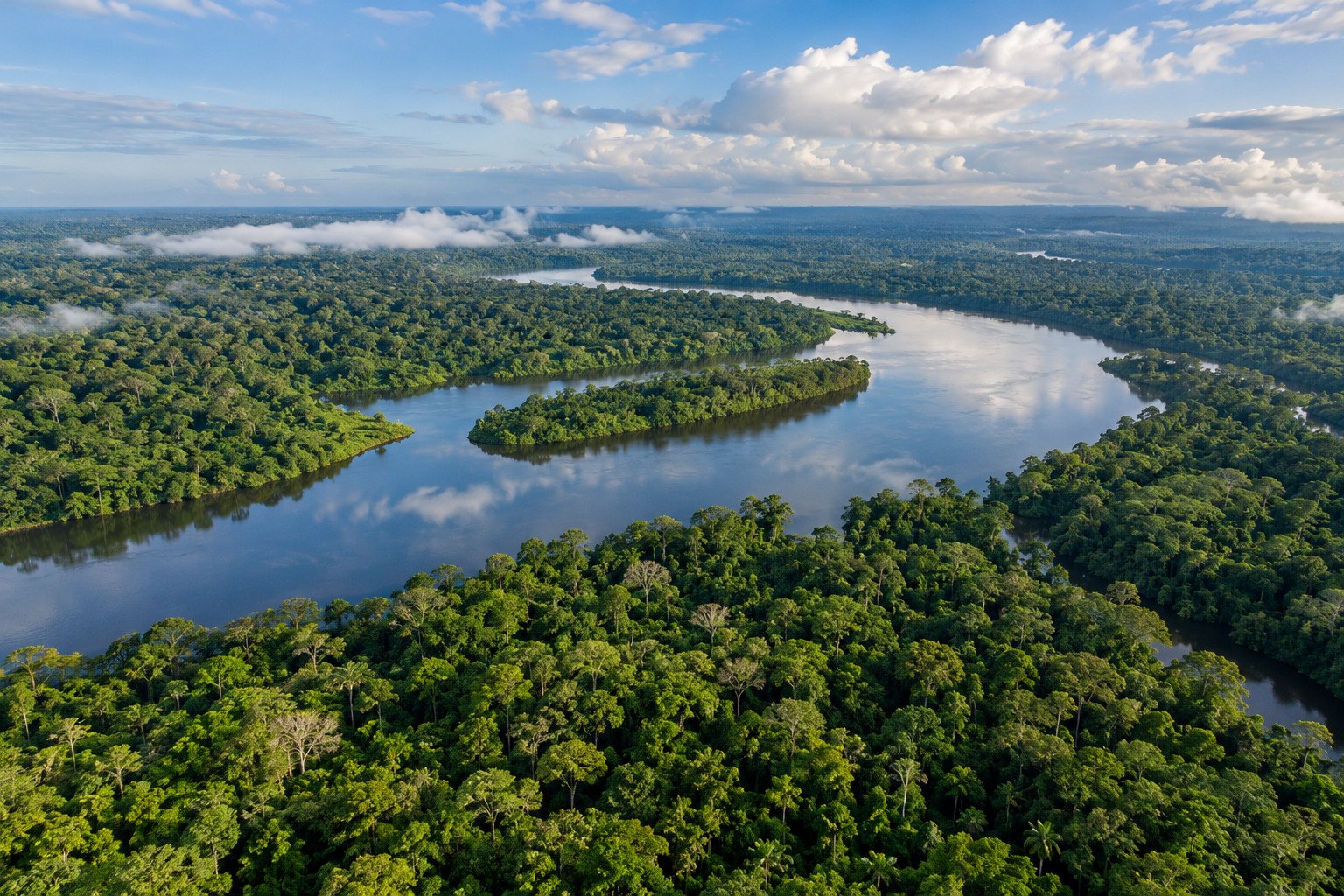
Brazil's National Institute for Space Research (INPE) on 16 October 2026 estimated deforestation in the Legal Amazon at 3,335 sq km for August 2025 to July 2026, 41.8% below the year before and, per INPE, the lowest since its PRODES series began in 1988. Clearing in the Cerrado fell 23.8% to 5,516.69 sq km, also a series low.
Syllabus: Prelims · Geography; Prelims · Environment & Ecology; GS1 · World Physical Geography
Why this matters for UPSC
GS1 world geography and GS3 conservation: Prelims can ask where the Amazon River rises and drains, who belongs to ACTO, and how INPE's PRODES and DETER measure deforestation; Mains, about satellite monitoring and REDD+ finance through the Amazon Fund.
Why it matters
Every square kilometre of rainforest that is not cut keeps its carbon locked in trees and soil instead of the air, so a smaller loss in Brazil slows the warming that changes rainfall and harvests far beyond South America. For the people of the Amazon and the Cerrado, standing forest means water, fish, fruit and income that survive the next dry season. The case also shows how a country can watch a forest the size of a continent: regular satellite pictures turn a vague worry into a number that police, banks and voters can check. A forest that is measured every year can be protected; one that is guessed at cannot.
Prelims pointers
- INPE: Brazil's National Institute for Space Research, a unit linked to the Ministry of Science, Technology and Innovation (MCTI); headquartered in São José dos Campos.
- PRODES reference year: 1 August to 31 July; results in square kilometres; mapping of the Legal Amazon since 1988.
- PRODES Amazon covers the nine states of the Legal Amazon, which take in parts of the Cerrado biome; PRODES Cerrado covers forest, savanna and grassland formations.
- PRODES records authorised and unauthorised clearing alike; legality is judged by matching maps with clearing permits.
- Amazon River: rises on the eastern side of the Andes and drains into the Atlantic Ocean, about 219,000 cubic metres of water a second (NASA).
- ACTO members: Bolivia, Brazil, Colombia, Ecuador, Guyana, Peru, Suriname and Venezuela.
- Amazon Fund: managed by Brazil's development bank BNDES; it gives non-reimbursable support for preventing, monitoring and combating deforestation.
Practise a UPSC-style question
With reference to Brazil's PRODES deforestation monitoring, consider the following statements:
1. It is run by INPE, a unit linked to Brazil's Ministry of Science, Technology and Innovation.
2. It measures forest loss over a calendar year running from January to December.
Which of the statements given above is/are correct?
- (a) 1 only
- (b) 2 only
- (c) Both 1 and 2
- (d) Neither 1 nor 2
Show the answer
Answer: (a) 1 only
Answer: (a) 1 only. INPE under the science ministry runs PRODES, but its year runs from August to July.
Statement 1: correct. INPE, Brazil's National Institute for Space Research, is linked to the Ministry of Science, Technology and Innovation and runs PRODES.
Statement 2: incorrect. The PRODES year runs from 1 August to 31 July; the 2026 figure covers 1 August 2025 to 31 July 2026.
Eliminate: Statement 2 is the surer one: the 2026 rate covers August 2025 to July 2026, not a calendar year. Out: (b), (c).
Eliminate: Statement 1 holds, since INPE produces the PRODES series. Out: (d).
Trap: Near-miss figure. The question swaps the August-July reference year for the familiar calendar year that most statistics use.
Remember: PRODES = INPE's annual deforestation rate, counted 1 August to 31 July.
More from the 18 October 2026 edition
- Ethanol blending: 2026-27 tender shuts out sugar-based feedstocks Economy
- NPPA notifies 30% trade-margin cap on 137 anti-cancer drugs National
- Deep magnitude-6.9 quake jolts Kamchatka on the Pacific Ring of Fire World & IR
- First tranche of India-US Bilateral Trade Agreement finalised, in legal drafting World & IR
- SEBI recasts Closing Auction Session; expiry settlement moves to VWAP Economy
- DGMA bars Indian seafarers from Sarawak's inland and coastal vessels National