
Magnitude 7.7 earthquake strikes Panama on the Pacific Ring of Fire
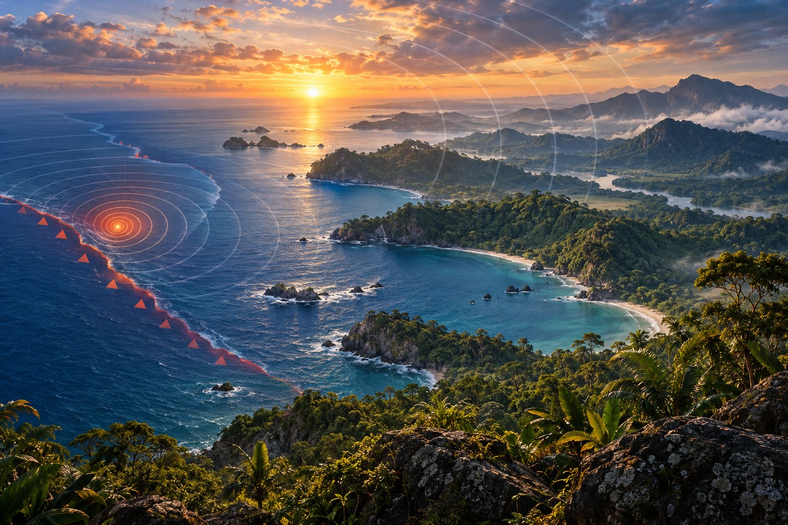
A magnitude 7.7 earthquake struck central Panama on 9 October 2026, centred near Pitaloza Arriba in Herrera province at a shallow depth of about 10 km. The US Geological Survey first put it at 8, then 7.6. A 6.6 quake followed that afternoon, damage was concentrated in three central provinces, and the Panama Canal kept operating.
Syllabus: Prelims · Geography; GS1 · World Physical Geography; GS1 · Geophysical Phenomena
Why it matters
For a family in Herrera or Los Santos, a shallow quake at 10 km means violent shaking close to home: cracked walls, broken roads and a collapsed colonial-style church. Panama City, though shaken, reported no damage. That is the difference between magnitude, one number for the energy released, and intensity, the shaking felt at each place. Far beyond Panama, shipping lines watched the Panama Canal: had its locks been damaged, ships moving between the Atlantic and the Pacific would have faced a much longer voyage around South America. The canal kept working, but the event shows how one quake on the Ring of Fire can threaten both lives and a global trade route.
Prelims pointers
- Panama: southernmost Central American country; borders Costa Rica (west) and Colombia (east); Caribbean Sea to the north, Pacific Ocean to the south.
- Isthmus of Panama: the land bridge joining North and South America; the Panama Canal crosses it, linking the Caribbean Sea with the Pacific Ocean.
- Panama Canal: a lock canal that lifts ships to Gatun Lake, an artificial lake; the United States handed the canal to Panama on 31 December 1999.
- Plates near Panama: Cocos, Nazca and Caribbean; the Cocos Plate subducts beneath the Caribbean Plate off most of Central America; off Panama, beneath the Panama microplate.
- Pacific Ring of Fire: arc of volcanoes and fault lines around the Pacific Basin, where most of the world's earthquakes occur.
- Magnitude measures energy released at the source; intensity measures shaking at a place, on the Modified Mercalli Intensity scale (I to XII).
- Moment magnitude scale: logarithmic; one whole step means about 32 times more energy released.
- Epicentre is the point on the surface directly above the focus (hypocentre), where the rupture begins.
Practise a UPSC-style question
With reference to Panama, consider the following statements:
1. Panama shares its western land border with Nicaragua and its eastern land border with Colombia.
2. The Caribbean Sea lies to the north of Panama and the Pacific Ocean to its south.
3. The Isthmus of Panama forms the land link between North America and South America.
Which of the statements given above is/are correct?
- (a) 1 and 2 only
- (b) 2 and 3 only
- (c) 1 and 3 only
- (d) 1, 2 and 3
Show the answer
Answer: (b) 2 and 3 only
1 is incorrect: Panama's western neighbour is Costa Rica, not Nicaragua; Colombia lies to its east. 2 is correct: Panama has the Caribbean Sea on its north and the Pacific Ocean on its south. 3 is correct: the Isthmus of Panama is the narrow land bridge joining North and South America.
More from the 11 October 2026 edition
- INS Sahyadri reaches Vladivostok for India-Russia naval exercise INDRA 2026 Defence
- Special Notified Zones: DGFT redefines who may trade rough diamonds Economy
- C-STROKE ischaemic stroke atlas released; IIT Madras brain-mapping centre dedicated Sci-Tech
- Draft National Steel Policy: 604 MT capacity, cleaner steel by 2047 Economy
- India, UK navies hold Exercise KONKAN-26 off Plymouth Defence
- Supreme Court: detain peaceful protesters only by procedure established by law Polity
- Delhi internet suspensions: how the Telecommunications Act, 2023 governs shutdowns Polity
- Right to protest: Supreme Court lets authorities regulate, not halt, Delhi transit Polity
- DGTR opens anti-dumping probe into Penicillin G imports from China Economy
- NBA disburses Rs 2.02 crore Access and Benefit-Sharing funds to States Environment
- Navy's Next Generation Offshore Patrol Vessel 'Shreyas' launched at GRSE, Kolkata Defence