
National Waterway-2 and Protocol Route: Assam methanol barge sails for Dhaka
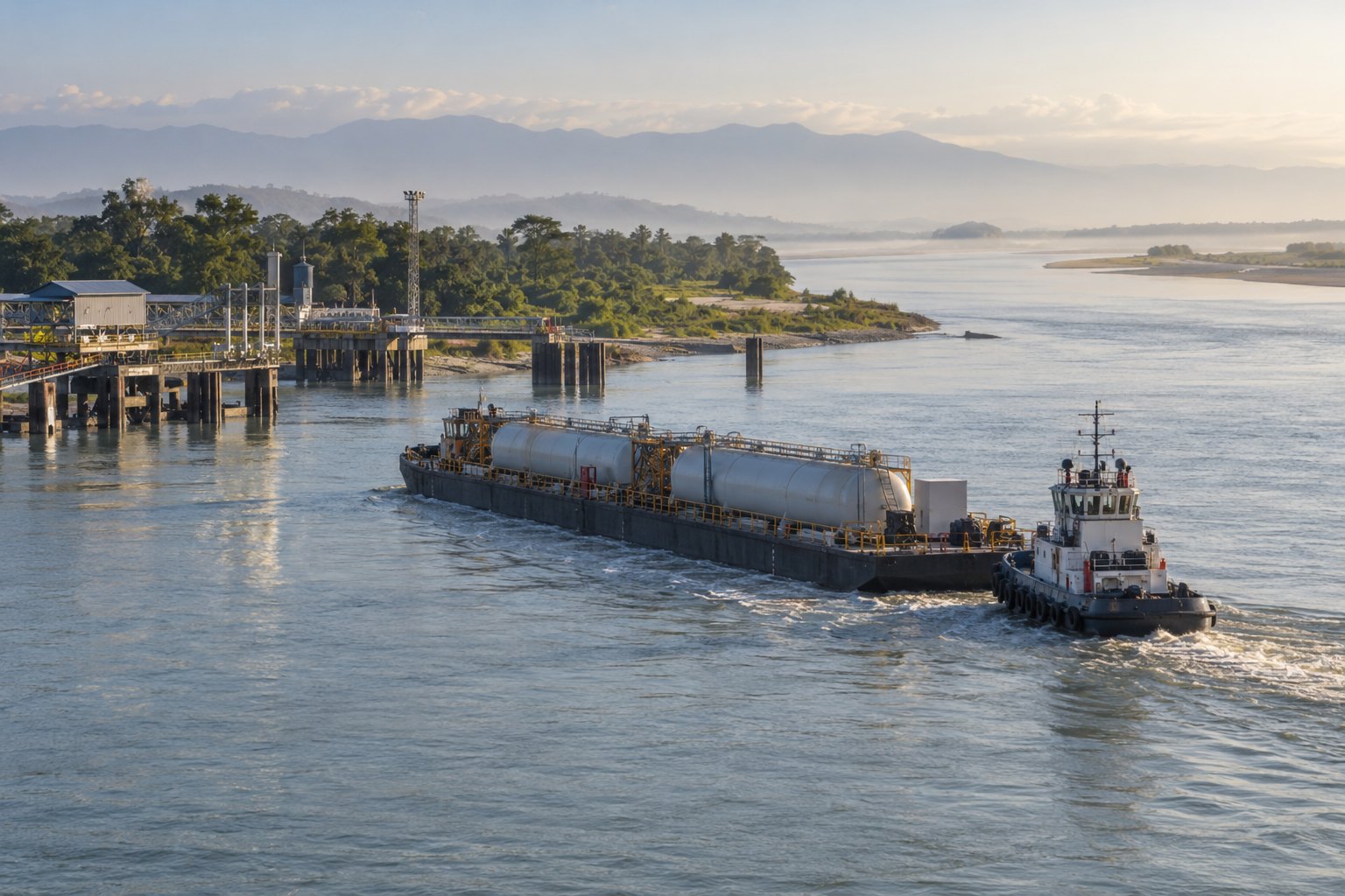
Union Minister Sarbananda Sonowal on October 5, 2026 flagged off a barge carrying 540 tonnes of methanol, made at Namrup by Assam Petro-Chemicals, from Bogibeel, Dibrugarh to Pangaon Port, Dhaka. It sails about 768 km down National Waterway-2 on the Brahmaputra, then the Indo-Bangladesh Protocol Route. His ministry calls it upper Assam's first cargo to a foreign port since 1947.
Syllabus: GS3 · Inclusive Growth; GS3 · Infrastructure; GS2 · Groupings & Agreements
Why it matters
For a factory in upper Assam, goods bound for Bangladesh otherwise go by road through crowded land customs stations, and goods for the rest of India squeeze through the narrow Siliguri corridor. A working river route gives such producers a second path: one barge moves 540 tonnes, and the minister said every tonne on the river means less fuel burnt and fewer trucks on the highway. If regular methanol shipments follow, Assam Petro-Chemicals gains a steady export market and other Northeast producers a model to copy. The larger question is whether the Brahmaputra, whose route to the sea Partition cut in 1947, can again carry the Northeast's trade.
Prelims pointers
- National Waterway-2: the Brahmaputra's 891 km Sadiya–Dhubri stretch in Assam, declared on 1 September 1988; its navigation season runs from October to May.
- Sadiya, at the upper end of NW-2, lies near where the Dibang and the Lohit River join the Siang to form the Brahmaputra.
- Inland Waterways Authority of India: statutory body under the IWAI Act, 1985, in the Ministry of Ports, Shipping and Waterways; it develops and regulates National Waterways.
- National Waterway-1: the Ganga–Bhagirathi–Hooghly system between Haldia and Prayagraj, 1,620 km long, declared in 1986.
- Jal Marg Vikas Project: raises NW-1's capacity on the 1,390 km Haldia–Varanasi stretch, with technical and financial support from the World Bank.
- Protocol on Inland Water Transit and Trade: India and Bangladesh use each other's waterways under their own laws, on designated routes, docking at notified ports of call.
- The Indo-Bangladesh Protocol Route links NW-1 with NW-2 and NW-16 (Barak), offering an alternative to the congested Siliguri corridor and land customs stations.
- Least Available Depth: the minimum water depth in a channel stretch at a given time; it sets the maximum permissible draft and safe cargo load.
Practise a UPSC-style question
With reference to National Waterway-2, consider the following statements:
1. It is the stretch of the Brahmaputra River between Sadiya and Dhubri in Assam.
2. It is developed and maintained by the Central Water Commission under the Ministry of Jal Shakti.
Which of the statements given above is/are correct?
- (a) 1 only
- (b) 2 only
- (c) Both 1 and 2
- (d) Neither 1 nor 2
Show the answer
Answer: (a) 1 only
1 is correct: the Brahmaputra's 891 km Sadiya–Dhubri stretch was declared National Waterway-2 on 1 September 1988. 2 is incorrect: NW-2 is developed, regulated and maintained by the Inland Waterways Authority of India, set up under the IWAI Act, 1985; the Central Water Commission does not run national waterways.
More from the 5 October 2026 edition
- India and Japan launch operational manual for Joint Crediting Mechanism Environment
- TDB backs indigenous AI vision chip with ₹130 crore Sci-Tech
- World vegetable-oil prices up 18.3% in a year, raising India’s import costs Economy
- India conveying messages between Russia and Ukraine, says Jaishankar World & IR
- BRICS tax heads create India-led groups on transfer pricing, revenue statistics Economy
- Supreme Court extends three-language relief to CBSE Class 6 students National
- Indian team demonstrates 5.56-km free-space quantum key distribution link Sci-Tech