
Shaksgam Valley and the 1963 pact: India rejects China-Pakistan boundary commission
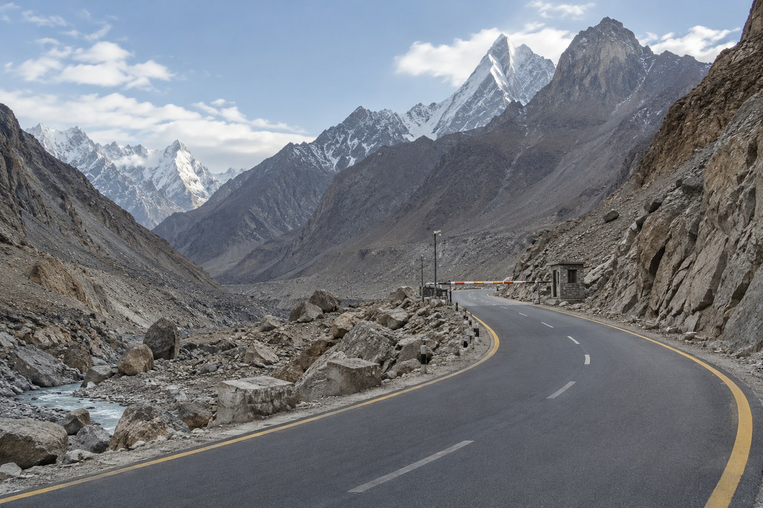
The Ministry of External Affairs has rejected the “so-called” Pakistan-China Boundary Joint Commission as “without any legal basis”, stating that there is no boundary between Pakistan and China and that the Union Territories of Jammu & Kashmir and Ladakh are integral and inalienable parts of India. The commission would coordinate the Khunjerab crossing and CPEC-linked trade.
Syllabus: Prelims · Current Affairs & IR; GS1 · Post-independence India; GS2 · Statutory & Regulatory Bodies
Why it matters
India counts the Shaksgam Valley as part of the Union Territory of Ladakh. A standing Pakistan-China body that surveys this frontier, checks its boundary markers and coordinates movement through the Khunjerab crossing turns into routine administration a line India says does not exist. New Delhi objected on the day the commission first met, saying any such boundary cooperation would have no bearing on India's sovereignty. The same frontier carries CPEC, which the MEA says passes through Indian territory under Pakistan's forcible and illegal occupation. The rejection came four days after Prime Minister Narendra Modi met Chinese President Xi Jinping in New Delhi at the BRICS summit, where both sides stressed steadying ties.
Prelims pointers
- Treaty of Amritsar, 16 March 1846: the British Government transferred hill country east of the Indus and west of the Ravi to Maharaja Gulab Singh for Rs 75 lakh.
- Shaksgam Valley, also called the Trans-Karakoram Tract, lies north of the Siachen Glacier and of the Karakoram main watershed.
- The 1963 line runs from the Afghanistan tripoint through the Khunjerab Pass, along part of the Shaksgam River, then the Karakoram main watershed via K2 to the Karakoram Pass.
- Article VI of the 1963 agreement: after the Kashmir dispute is settled, the sovereign authority concerned will reopen boundary negotiations with China.
- Khunjerab Pass: the only land crossing from Pakistan-held territory into China, reached by the Karakoram Highway through Gilgit-Baltistan.
- CPEC runs from China's Xinjiang to Gwadar; India objects that it passes through Indian territory under Pakistan's forcible and illegal occupation.
- MEA figures (Lok Sabha, 2022): about 38,000 sq km of Indian territory in Ladakh under China's illegal occupation; 5,180 sq km in Shaksgam ceded by Pakistan.
Practise a UPSC-style question
Consider the following statements about the Shaksgam Valley:
1. Also called the Trans-Karakoram Tract, it lies to the north of the Siachen glacier.
2. The 1963 China-Pakistan boundary agreement left it on China's side of the line.
3. It covers about 500 sq km of high-altitude terrain in the Karakoram.
Which of the statements given above is/are correct?
- (a) 1 and 2 only
- (b) 2 and 3 only
- (c) 1 and 3 only
- (d) 1, 2 and 3
Show the answer
Answer: (a) 1 and 2 only
1 is correct: the Shaksgam Valley, or Trans-Karakoram Tract, lies north of the Siachen glacier, across the main Karakoram watershed. 2 is correct: after following part of the Shaksgam River, the 1963 line runs along the Karakoram main watershed to the valley's south, leaving it on China's side; the MEA says Pakistan thereby illegally ceded Indian territory, and India has never recognised the agreement. 3 is incorrect: the MEA puts the area at 5,180 sq km, about ten times that.