
28 Ladakh features get standard names on Survey of India map
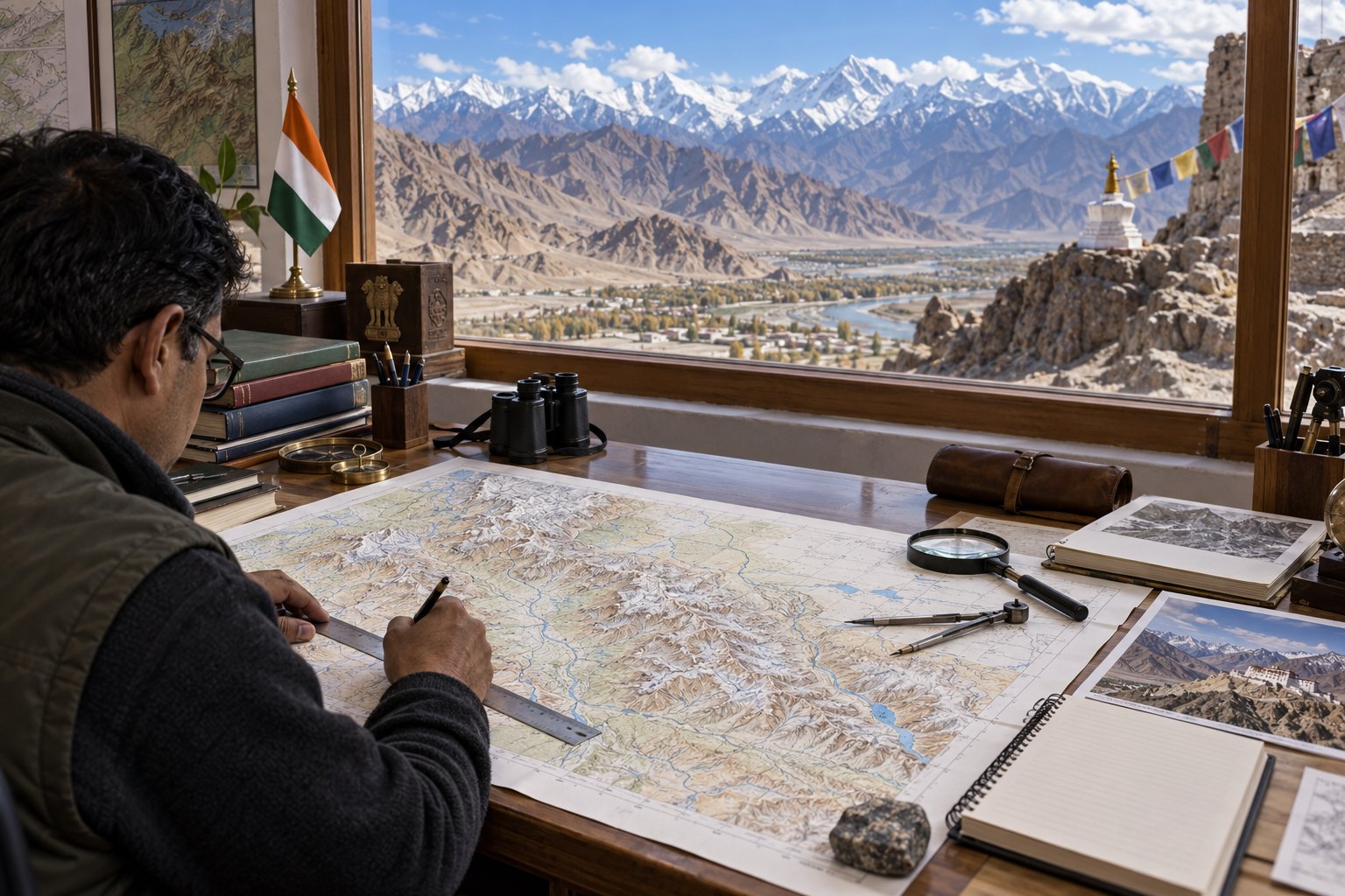
The Government of India, consulting the Union Territory of Ladakh, has identified 28 places and features in Ladakh by standard names on the official Survey of India map, the Ministry of Home Affairs announced on 2 October 2026. They include ten peaks, three mountains, seven land areas, two passes, two glaciers, a river and a lake.
Syllabus: GS1 · Art & Culture; Prelims · Current Affairs & IR; Prelims · Geography
Why it matters
For a soldier on patrol, a rescue team or a mountaineering party in Ladakh, one agreed name for each peak, pass or glacier removes the confusion of several local spellings, or of an unnamed feature on the map. Once a name is on the Survey of India's official map, government records, signboards and other maps drawn from its national database can use it the same way. The names also carry history: several match the Buddhist teachers who linked India and Tibet, and the Dogra general who brought the region under Jammu. The larger issue is keeping a remote, high-altitude region accurately and officially recorded.
Prelims pointers
- Survey of India: set up in 1767; the national survey and mapping organisation under the Department of Science and Technology; India's oldest scientific department.
- Surveyor General of India heads the Survey of India from Dehradun; Mount Everest is named after Sir George Everest, Surveyor General from 1830 to 1843.
- National Map Policy, 2005: Defence Series Maps (classified; Ministry of Defence sets their use) and Open Series Maps (published only by the Survey of India).
- Renaming villages, towns or railway stations: the Ministry of Home Affairs examines a State's proposal and conveys a 'No Objection'; the State then issues a Gazette notification.
- Article 3 of the Constitution: Parliament may by law alter a State's name; the Bill needs the President's recommendation and goes first to the State legislature for its views.
- Padmasambhava (Guru Rinpoche): 8th-century Indian tantric master linked with Samye, Tibet's first monastery; revered by the Nyingma school; Ladakh's Hemis festival honours him.
- Atisha: Bengal-born teacher of Vikramashila, a Pala Dynasty monastery, who went to Tibet in the 11th century. Rinchen Zangpo, the translator, founded Tabo Monastery, Spiti, in 996.
- Marpa Lotsava (Marpa the Translator) founded the Kagyu school of Tibetan Buddhism; his disciple Milarepa is Tibet's best-known yogi-poet.
Practise a UPSC-style question
With reference to the Survey of India, consider the following statements:
1. It was set up in 1767 and is the oldest scientific department of the Government of India.
2. It is the national mapping agency functioning under the Union Ministry of Home Affairs.
3. Under the National Map Policy, 2005, Open Series Maps are brought out exclusively by the Survey of India.
Which of the statements given above is/are correct?
- (a) 1 and 2 only
- (b) 2 and 3 only
- (c) 1 and 3 only
- (d) 1, 2 and 3
Show the answer
Answer: (c) 1 and 3 only
1 is correct: the Survey of India was set up in 1767 and calls itself the oldest scientific department of the Government of India. 2 is incorrect: it works under the Department of Science and Technology; the Ministry of Home Affairs only announced the Ladakh names. 3 is correct: the National Map Policy, 2005 says Open Series Maps are brought out exclusively by the Survey of India.